Thursday, September 10, 2015

Our First Day in Jasper


If you are following us on a map, you know that we are not traveling very far before stopping for the night. It much more enjoyable to travel slowly and see the sights. On our way to Jasper, we had forgotten that we would pass Mt. Robson. On our last trip, it was cloudy and we didn't get to see the highest peak in Canada. Not so this trip! We spotted Mt. Robson long before we saw....
 ...the sign for the provincial park.  And yes, there was a geocache near the park sign.
We stopped at the visitor center for a quick break and a light lunch before continuing to Jasper.
Wapiti Campground was our choice for our stay at Jasper. We still had not had electric hook-ups since May 31st at White Horse! After getting set up, we decided we wanted to stay at Wapiti for more days than we originally registered so we went to registration and found that we would have to move. So we went back to the RV to move and UH-OH! The slide would not go in! Bob worked on it and I finally went to ask about RV repair places. There are none in Jasper---the closest is in Hinton about 40 miles away. The clerk recommended we try NAPA Auto Parts as they might know someone who could help us. Bob and I drove to NAPA and they sent us to the local towing company. The two guys at the towing company followed us to the RV and helped us get the slide in by manhandling it while I pressed to button to make it go in. What an experience! Needless to say, the slide WILL NOT come out the rest of this trip!

We were able to make our move to the new site and told registration we had finally moved so they assigned our old spot to someone else. WHEW!

The next morning it was hiking time! Bob and I chose Maligne Canyon. The young lady in Jasper NP Visitor Center told us it was one of two recommended day hikes in the area.  She was correct on this one. Maps were scarce because of the number of tourists in the area, so I took a picture of the main map at the kiosk. It came in handy for us and several others who couldn't get a map.
 Bob and I decided to walk the trail counter clockwise due to the number of people hiking that morning. We had the trail to ourselves all the way to Sixth Bridge.
 For the first part of our hike, we didn't see any of the slot canyon with Maligne (Evil) River running through it. We did see the river meandering toward town.
 On our return toward Fifth Bridge, we started seeing more flowing water and waterfalls everywhere!
 By the time we got to Third Bridge and Second Bridge, the water was thundering through the slot canyon.
 Pictures don't do the canyon justice. It is hard to look at these pictures and know just how deep the canyon has been cut by the river.
 The canyon is much narrower in some areas than in others. It boggles my mind to know that in winter you can walk along the canyon floor because the water freezes solid!
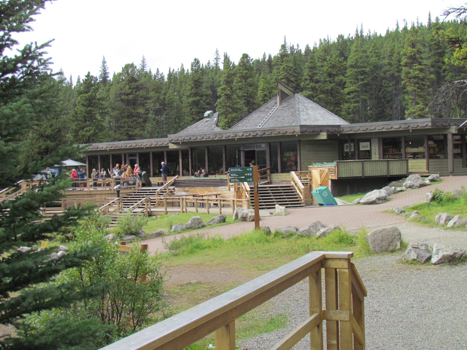
 After our hike, the weather turned rainy so we drove to Maligne Lake. The scenery was nice, but we didn't get out to take pictures. Once at the lake, we looked around the gift shop then ate our picnic lunch.
We sure were hoping the weather would clear up so we could have a good hiking day on Sunday.

On Our Way to Jasper National Park, Alberta, Canada

After filling both the car and the RV with gas, it was time to go a little further east. After looking at our brochures of the area, I knew I wanted to stop at Ancient Forest for lunch. Ancient Forest is the most inland temperate rainforest in the world.  It is located about 60 miles east of Prince George along Yellowhead Highway. We found the parking lot to be very unfriendly for RVs as it was not level. We turned the refrigerator off and set off for a good hike.
We chose to walk the trail counterclockwise and look for a few geocaches that were supposed to be hidden in the forest.
 There was a nice boardwalk throughout the forest. Volunteers from local communities are continuing to build the boardwalk and repair sections as needed.
 One of the trees is named Treebeard after the character in The Hobbit. This tree is the guardian of the forest.
 We also visited Treebeard Falls.
 Before leaving Ancient Forest, we had to see the oldest tree! To get to the oldest tree, we had to walk under this downed cedar.
 Then we arrived at the oldest tree in Ancient Forest! It is estimated to be over 1000 years old.
Of course, all the geocaches in Ancient Forest had been muggled so we didn't get to add to our numbers.

Once back at the RV, it was time to drive to McBride, British Columbia, where we would spend the night. McBride is a railroad town which is evidenced by their welcome sign and all the street signs. There are several towns northwest of McBride that can only be reached by train. It was not so bad staying near the train depot because the trains that went through at night didn't have to blow their whistles as there was no road they crossed in McBride!
 After a quick ride around town we drove to Beaver Falls east of town where we found a geocache along the trail.
 Beaver Falls is not a high waterfall, but it is a powerful one. We were amazed at all the different paths the water took to get beyond the large rocks in the river.
 It was a great hike to the falls, but time to head back to town to find a place to eat dinner.
 On our way into town earlier in the afternoon, we spotted this sign for Gigglin' Grizzly Pub.  We thought it might be a good place to eat, especially since there were so many cars in the parking lot!
It turned out that we made a good choice. The food was good and the place was busy! After a satisfying dinner, it was back to the RV to plan our stay at Jasper National Park.

Sunday, September 6, 2015

Meziadin Junction to Prince George, British Columbia

Our time traveling with our friends, Connie and Larry, was fast coming to a close. We left Meziadin Lake Provincial Park headed toward Hazelton. Not very far down the road, we hit road construction---what a surprise! (not)  It seems everywhere we go there is road construction with flagmen to stop you for varying amounts of time. This stop was a long one so Bob and I had another cup of coffee--one of the joys of traveling in a Class A motorhome with a generator!

The reason for the stop at Hazelton was to dump our tanks and fill our fresh water. Every visitor center has something out front celebrating their heritage. Hazelton had several statues dealing with the timber industry. There just happened to be a farmer's market in the parking lot. I gave it a quick look while Bob and I had to wait our turn at the dump.
 After the stop at Hazelton, Bob and I made another stop at Smithers to fill another tank---the gas tank. KA-CHING, KA-CHING! Then it was on to Burns Lake. The city of Burns Lake has a free campground with a three night limit. We only stayed one night, but it was an interesting stop.
Larry and Connie got a spot to our rear with a good view of the lake.
 The lake has a water slide and the rec center rents kayaks and canoes.
 There is also an outdoor fitness center with all sorts of gadgets for adults to use.
We only spent one night at Burns lake before heading to Prince George. That is where we would say goodbye to Connie and Larry. They would head south to Williams Lake and we would head east to Jasper.

We parked at Treasure Cove Casino. Just across the highway from the casino was Prince George! Prince George also celebrates its roots in the timber industry. 
When we arrived in Prince George it was my birthday. Connie, Bob and I went to the casino and registered for player cards. For registering, we each received $10 in free play and since it was my birthday, I got an extra $10. I headed to a machine and before I knew it I had blown through that $20. Bob found a machine to his liking and he won $30. Time to call it a night! Bob and I drove around and I picked a place I wanted to eat dinner--Mr. Mike's Steakhouse Casual. It had steak dinners, but it also had some unique items on the menu. I ordered smothered chicken which sounds heavy, but it was a grilled chicken breast smothered with shrimp and scallops in a light marinara sauce. Bob ordered Sirloin Cracklings which were thin sliced pieces of spiced sirloin cooked for a minute or so in hot oil.
I enjoyed my birthday dinner and afterward it was time to play one last round of Pegs and Jokers. Yes, the guys won again.  Maybe the next time we get together, Connie and I will once again reign as Pegs and Jokers Champions---we can only hope. The guys egos might not be able to take it, though, as they were pretty proud of their wins.

The next morning, Larry and Connie began their trek to the south and Bob and I stayed put for one more day. There was geocaching and hiking on our schedule. We also needed to see what we could do in the casino with Bob's winnings.

Our first order of business was to hike and geocache. After looking at the hiking trails in the area, we chose Forests of the World which is near University of Northern British Columbia. Geocaches were located along the trails in that area so we could hike and geocache.
 We found quite a few geocaches and this interesting sign. It warns of bears in the area and tells how they like to mark their area by scratching trees. Hmmmm, I wonder where the bear who scratched this post was that day.
 It was a nice day for hiking. The sun was out and I think we even broke a sweat before we completed our hike.
 We finished our hike by climbing the observation deck which had a good view of the city of Prince George. There was a geocache located under the deck that took us quite a while to find because we were looking too low. We had a good laugh when Bob finally spotted it. It was a good thing we had our hiking sticks with us or we wouldn't have been able to get the log to sign it!
After we returned to the RV and cleaned up, we headed back to the casino to see what we could do with Bob's winnings. Well, to make a long story short, we increased the winnings ten times over! Needless to say, we took the money and called it a day. Time to head back to the RV and check our route for the next day.

Meziadin Junction--Stopover for Stewart and Hyder

 The drive to Meziadin Lake Provincial Park was not too bad. Once we arrived it was time to set up camp and plan our activities. Meziadin was our base to explore Stewart, British Columbia and Hyder, Alaska.
 Bob and I took a campsite on the lake. Larry and Connie took a site on a ridge overlooking the lake.
 After getting settled we drove around trying to find the fish weir. We found it, but the weir was closed for the night. We did talk to the fish biologist who lives near the weir. Every fish that swims upstream is counted. Once the fish are counted, they are sent on their way to complete their life cycles.  The biologist did tell us to stop at a bridge on our way back to the campground as it is frequented by grizzlies in search of salmon. Low and behold, we heard something in the bushed and then this small grizzly appeared at the stream.
He pretty much ignored us, but kept an eye on us. He ran down to the area away from the bridge and tried to catch a salmon! We think the only thing he caught was a mouthful of water!
 The next day we drove to Stewart. There were several glaciers along the road. And because of the glaciers, there were hundreds of waterfalls.
Stewart is just a small town located on a bay. Hyder is the main draw. The Fish Creek National Forest is located in Hyder. The creek is home to spawning salmon, grizzlies, birds, and wolves. As we drove into the Fish Creek area we saw eagles just perched above the water watching the salmon.

The forest service built a boardwalk to protect the animals from people. It is a good place to watch salmon.....
and birds. We saw plenty of well-fed birds and many dying salmon.
 

I would say it is a good place to watch bears, but once again, we didn't see any!

The weather was damp and cold so we went in search of lunch.Our original plan was to eat at 'The Bus.' Bob and I ate there five years ago and it was the best fish and chips we had in Alaska. Unfortunately, it wasn't to be this time, the owner of 'The Bus' was under the weather so the place was closed. On our way out of Hyder, we asked the Canadian Customs officer where to eat in Stewart. He unofficially told us to dash on in to Dash Bistro. That is what we did and the food was good. Bob even ate 'snappies.' The chef marinates snap pea pods and then grills them as an appetizer. It was definitely different.

After lunch we headed back to Hyder in hopes of seeing bears, but the bears were no-shows once again.

On our way back to our campsites we stopped again at the bridge where we saw the bear. There were salmon, but the bear didn't show his face this time.

After returning, it was time to get in another round of Pegs and Jokers. Connie and I couldn't catch a break this trip and we lost this round, too.

Saturday, September 5, 2015

Another Visit to Alaska

 Okay, so we left Alaska, but we went right back into Alaska! After our stop at Jade City, our next stop was Carcross, Yukon Territory. We stayed in the Carcross Government Campground for two nights. Carcross is a good place to stay if you want to take a day trip to Skagway, Alaska. Skagway is a cruise ship town, but the scenery as you drive down to Skagway is unique. Skagway was also one of the starting points for the 1898 gold rush. The town of Dyea used to be just west of Skagway. The site is now part of Klondike Goldrush National Park.

But I digress. Carcross is home to the world's smallest desert! It is actually one square mile of sand dunes from the last ice age. The area receives too much precipitation for it to be a desert.
 Carcross also has the burned remains of a paddle boat that worked the lakes and rivers in the area from 1917 to 1955. During its original restoration in 1990, SS Tutshi burned. The town of Carcross has restored much of what was left and tourists still come to see it. The boat was so much a part of the town, that today community meetings and events are held in the partially restored boat.
Now, the weather didn't cooperate on our drive down to Skagway---it was overcast and foggy and we couldn't see the views. As we approached Skagway, the weather cleared and we were able to see the WP&YR Railroad crossing the trestle over this waterfall.

 Yes, there were cruise ships in port when we arrived in Skagway---four to be exact.
We walked around town, visited the national park buildings, ate lunch and then went to Dyea town site. Not much is left of what used to be a booming gold rush town of 10,000 people. In fact, the ground is now eight feet higher than it was during the gold rush years.
 This false front represents how the buildings were built. Each building had a false front to hide the shack that was the building. Every thing was built in such a hurry that nothing lasted, especially since the gold rush only lasted two years! Much of the lumber was used for fires and rebuilding other more permanent buildings in other areas.
 After visiting Skagway, it was time to head back to Carcross to get ready for another travel day. Our next stop would be Meziadin Provincial Park in British Columbia.

Leaving Alaska

Our summer adventures in Alaska are drawing to a close. If you look at our camp site coordinates on the right of this page you will see we are already out of Alaska. I fell behind on the blog since we haven't had good Internet connections on our return trip.

From Valdez we traveled to Tok, Alaska where we stayed for two nights. Bob and I did some geocaching--finally got our 5000th find! Larry and Connie did their computer work so they would be up-to-date when they crossed the border. They were also waiting for mail. Their mail arrived on Monday morning and we took off soon after that. We were hoping the drive on Alaska Highway was going to be better than our ride in on Taylor Highway. The leaves on the trees near the highway were starting to change color.
 It started off pretty good. Bob and I even stopped at a rest area and found cache number 5001! Once we crossed the border, Bob and I stopped to get the 'Welcome to Alaska'........
 .... and 'Welcome to Yukon' signs.
 There was even a bench so you could sit in both the USA and Canada at the same time. The customs offices are 15 miles apart, but this is on the actual border.
 Once we got beyond Beaver Creek, Yukon, the road deteriorated. In fact, it was just gravel all the way to Destruction Bay, Alaska! Not only was it bumpy, but it was dusty. The amount of traffic was horrendous as there were several RV caravan trips exiting Alaska at the same time we were. The number of people passing in no passing zones was astounding. One RV passed us on the left when we had our signal on to turn into a rest area on the left! This picture was of the road where it had been wet down to prevent dust. Not long after this, we hit the section of the road that was pure dust! You could barely see the vehicle in front of you.
 Once we cleared Destruction Bay and the road was paved, Bob and I pulled off at Kluane Lake Rest Area. We had a beautiful view and were glad to stop for the night.
 It was hard to choose which window to look out for the view. The lake was to the east and the mountains were to the right. The colors were amazing.
 The next morning we headed toward Haines Junction where we would stop to wait for Larry and Connie. They found a place before Destruction Bay to pull over for the night. At first it looked like there was snow along the highway, but it was cotton plant in full bloom.
 We met Connie and Larry at a rest area beyond Haines Junction and we all decided to keep going for the day. We knew we were going to turn off Alaska Highway to go south on Cassiar Highway.  Jade City was our choice for the next night on the road. Jade City had free Internet, but where we were parked, we couldn't get a good signal. Jade City is home to another Discovery Channel reality show.  Someone was out near the road flying a drone to film the highway and the front of the store. The Cassiar Mountains are the source of most of the jade in Canada.