Wednesday, July 30, 2014

Camping on the Banana River

Once we left home, our first destination was Patrick AFB in Satellite Beach, FL. It has always been on of our favorite spots for a quick getaway. We were fortunate enough to get the last waterfront site on the Banana River. Chris and DeAnna had a great time exploring the riverfront.

There were horseshoe crabs everywhere they looked!
Then it was time to look for crabs under the rocks along the shore.
Not far from our campsite was the playground. A few years ago a climbing wall was was installed. Chris made it to the top with no help! DeAnna finally found a side with hand holds she could reach.

After relaxing for a few days and stocking our pantry, it was time to head south to John Pennekamp State Park on Key Largo.

Friday, June 27, 2014

Siloam Springs and Home

Well, the weather followed us to Siloam Springs. It was rainy just about every day we were there. Bob and I did get in a few walks from Bob and Dot's house to John Brown University. Of course, the casino called to us and we were able to walk the quarter mile without getting wet going or coming.

On our anniversary, DeAnna and Chris arrived. It had been a year since we last saw them and they sure had grown! The first thing they wanted to do was check out their new sleeping bags in the RV.
 We stayed at Bob and Dot's until the 11th, then we headed home.

We were in a rush since we had reservations at John Pennekamp State Park for June 23. We wanted to let them swim in our pool before we took them on a great adventure.

Our first stop was at Pendleton Bend COE Park in southeast Arkansas. We had a great site on the water.
 It was also the kids first experience with mayflies. The mayflies swarmed the car, the RV, and us as soon as we parked.
 We were able to see several barges travel up and down the waterway.
 Bob and I also viewed Wilbur D. Mills Dam from the opposite side of the river.

After one night at Pendleton, we headed for Service COE Campground near Coffeeville, Alabama. It was another long day of driving and we were glad to get set up and spend a few nights.
We had a waterfront site and it was an excellent campground for the kids to practice riding their bicycles.

From Service, we headed to Chattahoochee, Florida to a COE campground that was actually in Georgia--Eastbank COE Park. From the hill above our campsite, we got a view of the sunset.
Of course, the mayflies were present at Eastbank, too. The kids shook the tree by the water and the mayflies took flight!
 We stayed at Eastbank for two nights before our final drive home.
 We took the kids on a tour of the dam and we checked out the fish at the base of the dam.
DeAnna checked the life preserver to make sure it would fit if she needed to use it.
 Then it was time to head home so they could meet their only first cousin, Sydney, and practice swimming in the pool with their snorkel gear.
 We had a great time at home, but it was soon time to get on the road again.
Next stop, Patrick AFB, Florida.

Monday, June 9, 2014

Old Post COE Park, Russellville, Arkansas

When we left Merrisach Lake, we didn't travel too far. Our next stop was Old Post COE on the Arkansas River in Russellville, Arkansas. One of the sights we saw as we drove was this crop duster. We noticed several as we drove, but this is the only one that crossed in front of the RV.
 Our site at Old Post was right next to the river.
 The tugs pushing barges traveled close to our shore to access the lock just up the river.
 Just outside Old Post Park was a city soccer park. There was a paved walking/biking trail around the perimeter. We were able to get our walks in most days on this path. The reason I said most days is because the weather did not cooperate with us! It rained every day while we were at Old Post!
 We had great plans for the area, but were not able to follow through on any of them because of the rain. Mt. Nebo State Park is just a short drive from Old Post. We wanted to hike several of the trails. All we were able to do was pick up a few geocaches between rain showers.
 The park was built by the CCC in the 1930s. Evidence of their work is found throughout the park. This is one of the cabins you can rent. It has a great view of the river valley on a clear day.
 One of the short walks we were able to take was to a waterfall.
 The clouds cleared a bit for us to get a partial view from the Bench Road Trail Overlook.
 As Bob was logging our geocaches, we got a message from one of the cachers who had put out one of our finds. There was a geocaching event to be held that evening in a pavilion at Old Post Park and we were invited. As it turns out, the pavilion was only about 100 yards from our campsite. We decided to attend and had a great time meeting other cachers. Our total caches seemed small compared to some of these cachers--several over 10,000 and one with over 20,000

The next day we were off to geocache again, but once again, the weather did not cooperate. We drove to Lake Dardanelle State Park and found the Arkansas Cache hidden near the Visitor's Center. We picked up a few more caches, but the rain prevailed and we returned to the RV.
 Our last full day in Russellville, we tried to return to Mt. Nebo before the rain started, but once again, it was not to be. We did stop at one of the trail crossings to get a geocache about 120 feet down the trail.
Since Mt. Nebo was a no-go, we decided to drive to Mt. Magazine about 50 miles west. The radar made it look like there would be fairer weather there for most of the afternoon. On our way we drove through Subiaco, home of a Benedictine Abbey and Academy.
 We stopped at an overlook in Ozark National Forest. I believe the clouds are following us.
 We could only imagine what the view would be on a clear day!
 Once we arrived at Mt. Magazine, we headed for the trail to the highest point in Arkansas.
 We made it, both to the top and before the rains caught us!
 We couldn't resist getting a picture on the trail.
 As you can see, the trail was steep in some places.
 After a good hike, we went to the lodge for lunch. We got to the lodge just as the rain started. The clouds obscured the view from the porch of the lodge. From pictures in the lodge we know that this is a fantastic view on a clear day!
Since we didn't get to hike the trails at Mt. Nebo, and only hiked one at Mt. Magazine, we know we want to visit this area again.

After spending five rainy days in Russellville, it was time to head to Siloam Springs to visit Bob's parents. We hoped for better weather, but had the feeling the rain was going to follow us.


Monday, May 26, 2014

Merrisach Lake COE Park, Arkansas

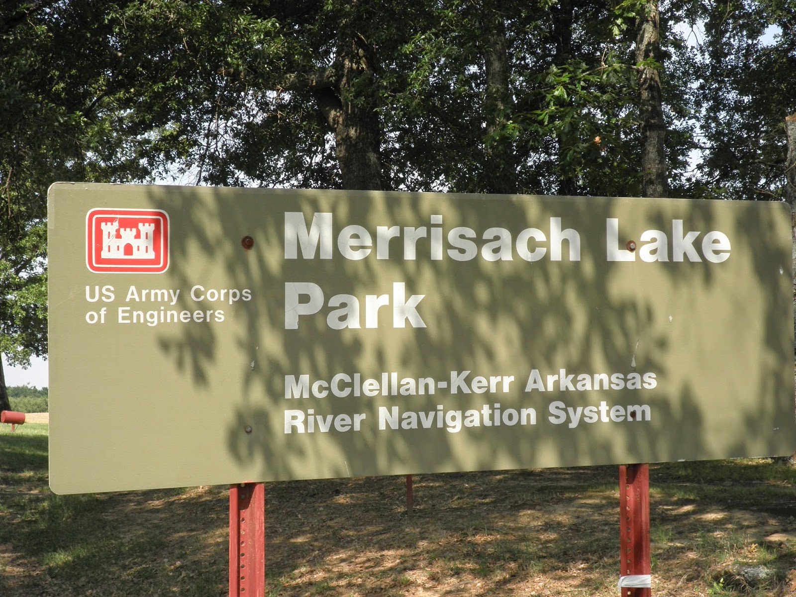
Thursday we had an uneventful drive from Choctaw Lake to Merrisach Lake COE Park, Tichnor, Arkansas. The drive was less than 250 miles, but still a long day for us.

It didn't take long for us to get set up and find out that once again, Bob had chosen a great site for us. We had a picnic ramada......
..... and when we sat out under the awning, we had a wonderful view of the lake.
 The McClellan Kerr waterway was hidden behind the trees at the rear of our site.

Saturday, true to form, we set out to geocache. Unfortunately for us, this part of Arkansas doesn't have many geocaches. We found the one on the way to Arkansas Post State Park and the one planted at the park.
 
 The park was open so we looked around the buildings that had been moved from the original Arkansas Post which was just down the road. This house was once the original park office. The room on the left is a bedroom and the room on the right is the winter kitchen and sitting room.
 
 As with many of the old houses, the breezeway allowed a cool breeze to cool both rooms.
 From the state park we drove to Arkansas National Monument. We visited this monument on our first retirement trip in 2007.
 We toured the museum and the grounds before heading back to the RV for lunch.
 Friday we rode our bikes to the nearby White River National Wildlife Refuge. We turned around at the entrance as we did not have permits to enter the refuge.
 We returned later in the day with permits and drove the back roads of the refuge. At one point we thought we were on the set of Walking Dead as this sign was not up to par with the others we saw.
 We stopped to take a picture of a huge snake in the road, but before Bob snapped the picture, the snake slithered away.

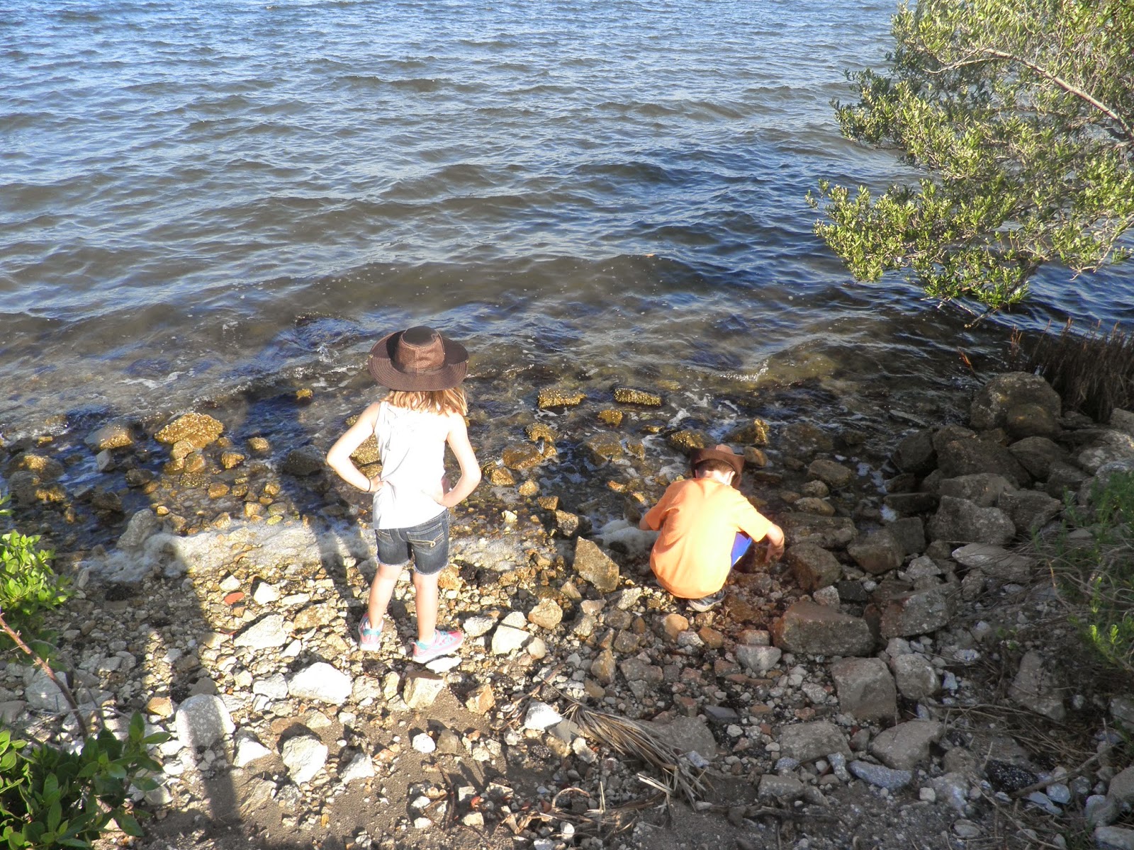
We got out of the car to look around Jack's Bay. Many people launch fishing boats here.

 We rode our bikes again on Saturday, this time out to Wild Goose Park at the end of Wild Goose Lane in the refuge. We passed lock number one on the McClellan Kerr waterway and saw a tug pushing a barge ready to go into the lock.

Sunday we planned to ride to St. Charles to see the interpretive center for the refuge. Unfortunately, the center was closed, but we did walk the nature trail across from the center. We kept seeing this plant, but it was not listed on any of the interpretive signs.
The nature trail was nicely paved and had many signs along the way.
 From St. Charles we drove to Ethel with hopes of walking a trail to see one of the oldest trees in Arkansas. Well, it was a good plan, but the road to the trailhead was flooded.
Once we returned to the RV, we decided to ride bikes again on Monday as most of the other campers would be leaving the campground. This would be our longest ride yet. We crossed the bridge over the waterway and headed for Notrebes Bend COE Park near Wilbur D. Mills Dam. We stopped opposite the campground to take a picture. You can't see our RV from the other side, but it is three sites to the right of the one you can see.


We made a stop at Wilbur D. Mills Dam and walked down the steps to watch all the people fishing at the base of the dam.
On the far side of the dam was another lock. Water flowed continuously through the dam as the water level on the White River is high.
On the way back to our campsite, we had to cross THE BRIDGE! I think it was steeper going back! When we got back to the campsite, the GPS read 18 miles! The ride was enjoyable and the only difficult part was THE BRIDGE.

Tuesday would be another travel day, but this one would relatively short. We only planned to drive  about 175 miles.