Thursday, April 29, 2010

Time to Get on the Road Again

Yes, we had to say goodbye to Bob and Dot. It was time for us to get on the road again. We enjoyed our time in Siloam Springs--visiting with friends, going to the casino, and of course, geocaching.

Siloam Springs has a great walking/biking trail that goes from one side of town to the other.We finally got to ride our bikes Wednesday. We walked most of the other days.Thursday morning we left Siloam about 9:30 a.m. The wind was so bad that we stopped every so often so Bob could rest and I could get the color back in my knuckles. Our first stop was 39 miles from Siloam in Locust Grove, Oklahoma. They had a nice rest area with an historical marker about a civil war battle nearby.
We decided we didn't want to drive the turnpike and we didn't want to drive US 69 like we did last time. After we got through Tulsa we drove Historic Route 66!

Since we had been at Bob and Dot's so long, we needed to stop and refill our refrigerator with milk, fruits, veggies, and lunch meat. We found a Wal-Mart just west of Tulsa in Sapulpa, OK. From there it was a short drive to Route 66. Downtown Sapulpa had many signs reminiscent of the days when Route 66 was the main route.
Our next stop was another Wal-Mart further along Route 66 in Davenport, OK. It seems that along state and local highways there are no more rest areas as there were before the interstate system took over. We can count on Wal-Mart to have room for us to park our rig.

We continued on our way and saw an interesting entrance for University of Central Oklahoma in Edmond, OK.

Just to the right of the entrance was a bronze broncho (and yes, that is the correct spelling for the mascot).
I watched the GPS carefully so we wouldn't have to go through Oklahoma City--it would have been rush hour. We ended up taking the very scenic route (translation--dirt and gravel road) to get to our destination--Lucky Star Casino. The casino has 10 rv sites with electric and sewer hookups and it is free! The sites look like much of the rest of western Oklahoma!
We went into the casino to register and we were each given $10 to play the slots. Bob got an extra $10 because it was Gentlemen's Day! We played the slots for about an hour, lost the $30, returned to the rv for dinner.

I think we will listen to the wind whistle around the rv all night. Tomorrow is supposed to be another windy day so maybe we will do some geocaches in the morning to see how the weather progresses. We definitely don't want to travel when the wind is gusting to 36 mph!

Tuesday, April 27, 2010

Siloam Springs, Golf, Geocaching, and the Dogwood Festival

From Ouachita National Forest we drove west on US270 until it intersected US71 which took us to Ft. Smith, Arkansas. Then we turned north on I540 and headed to Springdale. From Springdale we drove west on US412 to Siloam Springs and Bob's parents' home.

The weather had been good for most of our trip, but in Siloam it turned rainy and chilly! Bob and I did some geocaching along the Dogwood Springs Trail. The trail winds through most of Siloam, but we did the section that circles John Brown University. Along the way we found 8 caches. Part of the trail is a block from Bob and Dot's. We started the trail there and walked to John Brown University. The trail around JBU follows a creek for most of the loop. Bob checked the GPS when we returned to the house--we walked 3.8 miles!

Some of you may know Bob and Dot's house is located 3 houses from the Oklahoma border. Also within walking distance is Cherokee Casino in West Siloam Springs, OK. Bob and his dad walked over there one evening and both came home as winners ($70 each)! I joined them the next two evenings (drove the car as it was chilly). Let's just say we won the first night and broke even the next night.

Friday night we met Bob and Dot's friends at Dawn Hill Country Club for dinner. Afterwards we all went to Daisy and Bennett's for a rousing game of golf (card game). We anted up $3 a couple and started our 18 holes of play. Well, I was on a streak--the cards fell in my favor all night. I have never been so lucky playing golf, I usually end up in the middle of the pack or lose! I won the game while Bob and his mom tied for second.

Saturday was a rainy, miserable day. Sunday was a bit better so Bob and I drove south to Lincoln, Arkansas to geocache. Along the way, one cache was located near the Oklahoma border along the Trail of Tears Highway.We found some interesting areas near Lincoln. One of the caches was located at the first college in Arkansas--Cane Hill.To receive credit for the cache we had to e-mail the number of graduates in the class of 1921. When we arrived at the former college, we found names of the members of each graduating class carved in the sidewalk leading up to the only building! The class of 1921 had 3 graduating members.
We returned to Siloam Springs in time to go with Bob and Dot to the 36th Annual Dogwood Festival. There were many food booths, an area just for kids, and artisans displaying their goods. We looked around, but didn't find anything we wanted. Bob and Dot think there were fewer booths this year.
The first city pool which was filled by the flowing water is now empty.
Monday was another casino day. We met Bob and Dot's friends at the casino for lunch. After lunch we played the machines--my luck held! At first the machines were cold, but we kept at it and finally the machine Bob won with the first night warmed toward us! I won $90! Bob and I immediately cashed out and went to find his parents. They were playing Red Ball Bingo(nickel machine). We sat and played, too, but didn't have much luck. They went to find another machine and we drifted off to another Red Ball machine. We only put $1 in and ended up winning $7. I don't mind playing as long as I'm not putting in a lot of our hard earned money.

Today, Bob and I plan to walk more of the trail. We had planned to ride bikes, but the high is only going to be 63 degrees!

We plan to leave Siloam some time this week and head toward El Paso. I am in desperate need of some grandkid hugs! We talked to Chris and DeAnna Sunday while we were geocaching (bad connection since we were in the middle of nowhere). Chris kept telling Bobby that Grandma was talking crazy! They are excited to move to Washington where they will see trees and grass.

Monday, April 19, 2010

Ouachita National Forest, Arkansas

Bob and I left the Pine Bluff area and drove all the way to a spot just west of Hot Springs, AR. That's right, it was a relatively short drive. The last time we were in this area our friends Hoss and Lynn were with us. Gail and Cecil were not far away. Lynn, Gail, and I got to visit Hot Springs, but Bob and Hoss were stuck on Cloud Nine! Yes, there is a story behind that and I will not go into it now.

We decided to stop at a national forest campground even though there were many COE parks to choose from as well as state parks. Ouachita National Forest Charlton Camp was our choice.
When we arrived, it looked as if the campground was closed. Bob pulled the rv to the side of the road and we walked up the hill to inspect the signs. The day use area was closed, but the campground had one of its 3 loops open. We unhooked the car and drove through the loop to make sure sites were available. We were in luck, there weren't many people camping! We drove back to the rv and returned to the campground to pick our site. The campground was recently renovated and all sites had water and electric.From the looks of geocaching.com the area was filled with geocaches. We set off to grab a few and to hit the Hot Springs Wal-Mart for milk and fruit. We found most of the caches for which we were searching. We even picked up two at Wal-Mart.

It was starting to get dark and it was beginning to rain so we headed back to our site. After dinner we planned a day of geocaching--we wanted to break our old record of 35 in one day.It rained off and on all night, and the morning didn't look nice. Finally the rain went away leaving only clouds so off we went.One of our caches was near a ford. The large sheet metal gates on the left could be closed when the water rose too high for a safe crossing.Another one was placed near a head guarding a fence post.We had a great time. You would think with all the rain the pollen would have washed away.....but noooooo! It stuck to both our pants legs as we walked through the grass and plants! Bob's didn't show nearly as bad as mine! Yes, that is yellow pollen!After a late lunch and nap time, we explored the rest of the campground. We walked over the partially constructed bridge going to loop C. A stream runs through this area separating the day use area and camping loop C from loops A & B.In the 1930s, the CCC was active here. They built the dam and swimming area in the day use area. There are two octagon shaped swimming platforms with red ladders.Park workers can shut the gate and fill the swimming area when the weather is warm.
From the day use area we walked to the interpretive trail which is a 3/4 mile trail looping between campgrounds A and B. Signs along the way identified trees and plants of the area as well as their uses.

There was still daylight left and we weren't cached out--yet. We drove west on US 270 to look at the COE park in Joplin, AR. There were also some caches located nearby. The campground at Joplin COE was not nearly as nice at Charlton so we were delighted with our choice!

On the way into the Joplin COE Campground we passed a meditation area dedicated to a young man who died suddenly in 1999. He had a passion for landscape design so this was a fitting tribute.The gazebo at Micah's View overlooks Lake Ouachita. It was a wonderful place to take in the vistas of the area.
There was also a cache located near the memorial.

We enjoyed our day of geocaching and exploring. And by the way, we set a new personal best for number of caches found in one day--43!

Sunday, April 18, 2010

Time for an Update!

When we left Natchez, we were less than two miles from an entrance to Natchez Trace Parkway. We enjoy traveling along the parkway as no commercial vehicles are allowed and the speed limit is 50 mph. The scenery is great and the wildflowers are in bloom.

We made two stops, one at Mount Locust--an old stand from when The Trace was a booming trail. It is one of the oldest buildings still standing along the historic trail. The front porch has new floorboards, but the main room (which was the original house) has the flooring from 1780!From Mount Locust we drove a short distance to Bullen Creek where there is a nature trail. After walking the trail, we continued along The Trace to Port Gibson on US61 where we exited and began our drive to southeastern Arkansas. Of course we stopped at the Wal-Mart in Vicksburg to get a few supplies before getting on I20 for a short drive to US 65 which was our route to our next campground.
US 65 is The Great River Road--it parallels the Mississippi River north from Louisiana into Arkansas. Once in Arkansas we looked for a place to pull over so we could get out and stretch our legs. That place was the welcome center in Lake Village, Arkansas. We were able to get information about the places we would visit before reaching Siloam Springs.

Once on the road again, we drove until we were just outside Pine Bluff. Rising Star COE Campground would be our home base for the next three days.
We were lucky to get a waterfront site. We thought the campground would fill for the weekend, but it didn't come close! Most of the waterfront sites filled, but not the wooded section!
Bob downloaded some geocaches southeast of Pine Bluff for to find and Friday morning we were off to explore via caches. Our last stop for caching was a nature park along Bayou Bartholomew. It was a great trail that wandered along one of the longest bayous.
We found most of the caches we were searching for and headed back to the rv for a relaxing evening. We couldn't ask for a better day or site.Saturday morning we headed north of Pine Bluff to search for caches. The search led us to the
entrance of Port of Pine Bluff.
From there we visited two more Corps of Engineer recreation areas. Then on to a regional park along the Arkansas River where we ate a picnic lunch before backtracking to the Railroad Museum. It was in an old building where locomotives were once built and repaired. Inside were several locomotives and train cars that we could explore. This sleeping car reminded Bob and I of the movie Some Like it Hot with Jack Lemmon and Tony Curtis.
This car was a guard car complete. Of course we took picture after picture, but unfortunately the camera went dead about halfway through the museum.
So you will have to guess what the building and the locomotives looked!

Sunday was another travel day and we were headed to a campground west of Hot Springs, AR.

Thursday, April 15, 2010

On the Road Again!

We will update the blog every couple of days if we have good internet service. So far, our stops in Alabama and Mississippi have not yielded the best service, it was intermittent and often dropped the signal.

Yes, Bob and I are on the road again. No more housework, no more weeding, no more pool, wait a minute I like that last part!

We left home on April 9. Our plan was to drive to Bainbridge, GA. There we would spend the night at Hale's Landing COE park on Lake Seminole. We got a late start, but that didn't matter, we are still RETIRED!

For those interested in our route, our first road was state road 40 west to state road 326. When 326 met I75, we got on the interstate.Lunch time found us on I75 north of Payne's Prairie near Gainesville. After a quick bite to eat we continued our journey to Hale's Landing.At Lake City, we turned west on US90. We made one more stop just west of Madison, FL at a rest area/boat ramp.
We stayed on US90 to Monticello, FL where we turned north on US19 to US 84 which took us into Bainbridge, GA.

We arrived at Hale's Landing to find that it was no longer a boondocking campground, but a $16 a night campground. Most of the spaces were filled so we decided to continue on to a Super Wal-Mart...we wanted to boondock our first night and continue early the following morning.
Dothan, AL was the first town with a Super Wal-Mart so we pulled in and found a quiet spot by the garden shop. As always, the following morning we went in and purchased a few items for the road.From Dothan we headed west on Alabama state roads until we got back to US84. The reason for this was the state roads were a straighter shot to our next destination.

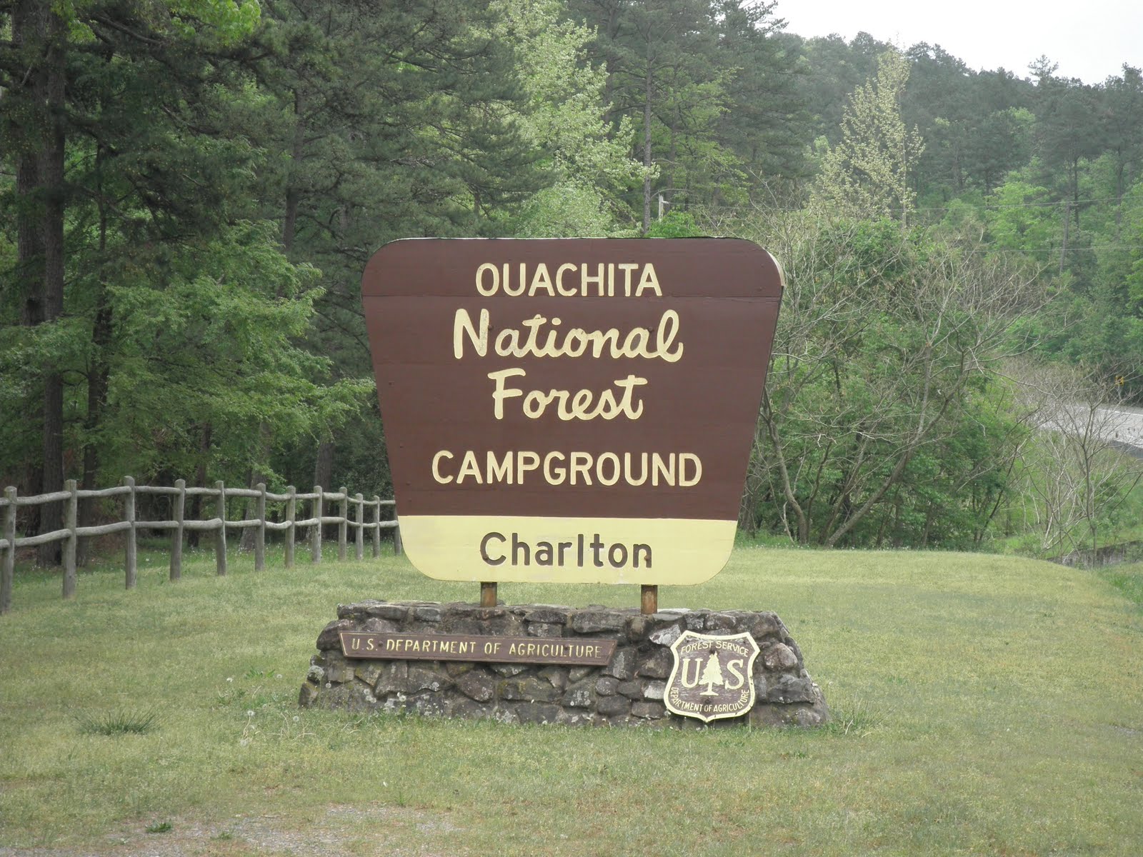
This trip we are trying to stay at Corps of Engineer campgrounds (COE). We haven't found one that was not to our liking. Since we stayed at Isaac Creek COE for one night last March, we thought we would try the other COE campground just a bit north of there on the Alabama River. Well, we found it with no problem--Haines Island COE. The COE book says it accommodates RVs up to 40 feet so off we went down the dirt road to the park. We passed a playground that looked nice, then we came to the boat ramp which was busy. The campground was beyond the boat ramp, but as we turned the corner to head to the campground all we saw was a red clay bog instead of road! We unhooked the car and drove around the bog to see the campground..............it would have been a great place to stay except for the red bog! It was time to go with the known and hope there was an empty site. I drove the car ahead of Bob in the rv and made a beeline for Isaac Creek COE. When we arrived, there was one, count it, one, camp site left that was available for two nights. We took it and set up camp. This time we were going to explore Monroeville and the surrounding area. It poured rain on our visit a year ago.Monroeville is an interesting town in southern Alabama. Its claim to fame are two well known literary figures and a movie which was filmed in town. Harper Lee and Truman Capote were childhood friends in the 1930s. Truman Capote lived in Monroeville from age 3 to age 9, and then returned every summer to visit relatives.

The courthouse in the center of town was used in To Kill a Mockingbird. The town erected a plaque to Atticus Finch near the courthouse.
Our second day in the Monroeville area was spent geocaching. Bob and I plan to have 2000 finds before we return home. While geocaching, we found the oldest building in Claiborne, AL and a shortcut from US 84 to our campground which saved us over 20 miles when we left!

Monday found us on the road again. Mississippi has never been an easy state for us to find campgrounds. We knew we wanted to stay in the Natchez area, but we didn't want to drive from Monroeville to Natchez in one day. We did some research and found that in Mississippi 'water park' means a park with campsites, walking trails, and other amenities near a river or lake, not Blizzard Beach or Typhoon Lagoon type water parks in Florida.

We found a water park near Monticello, Mississippi that looked promising. When we arrived, it looked like a nice peaceful place to camp. Since we were spending one night, we opted for a site without hookups. We were right, it was a nice peaceful campground---we were the only campers! Several people visited the park to walk the trail or ride bikes, but no one else was camping at Atwood Water Park.
Tuesday morning we were on the road again. We made it Natchez State Park north of Natchez, Mississippi. Once again, we were glad we arrived early as we got one of the last sites
available for three nights. As we sat and enjoyed the area, we saw campers arriving late who did not get a spot for the night.Geocaching was first on our agenda as that always gives us a good idea of things to see in the area. Not far from the campground was Jefferson College Historic Site. It was built in the early 1800s as a prep school. It is named for Thomas Jefferson, not Jefferson Davis who attended the college soon after it opened.On day two we rode into Natchez to visit some of the famous sites (and to geocache). There are many beautiful homes in Natchez--remnants of the wealthy who inhabited the area before the Civil War. According to brochures, over 50% of America's millionaires lived in pre-Civil War Natchez. One of the houses, Melrose, is part of the National Park system. It is undergoing extensive restoration.Monmouth was another home that caught our fancy. In fact, there was a geocache in a huge magnolia tree located at Monmouth. Bob took pictures of the house, which is now a bed and breakfast while I signed the log in the cache.
Dunleith also caught our attention. The building behind the main house looks like a castle (it is a restaurant and pub). We went in the gift shop, then wandered the grounds as it is also a B & B.
Thursday was a travel day. Natchez Trace is a great road so our plan was to drive north until we needed to cross into Louisiana. More on that when I write the next installment!