Friday, March 30, 2018

Brick House and Gaffney, South Carolina

We didn't venture far from Wateree Recreation Area. Our next stop was Brick House Campground in Sumter National Forest.We spent two nights at Brick House. There was a trail near the campground, but due to recent rains, parts of it were impassable. We did our best, but, we had to turn back after about a mile. After we left Brick House, we realized that we didn't take the first picture while we were there!

Our next stop was our scheduled stop at Gaffney Oasis Freightliner for Sol's two year check-up. She passed with flying colors and we left with extra filters---the just in case supply. While Sol was being checked, we drove to Kings Mountain National Military Park. This trip should be called "Our Revolutionary War Tour." The battle at Kings Mountain was pivotal for the Patriots in the Revolutionary War. Bob and I walked the path around the mountain reading about the advancements of the patriots and the loyalists.
 After we left Kings Mountain National Military Park, we went next door to the South Carolina state park, Kings Mountain. We walked around the lake and checked the campground. There were a few sites Sol would fit in, but not many.
It was back to Gaffney to get Sol settled for the night. The following day would be a travel day!

Thursday, March 29, 2018

Wateree Recreation Area, Camden, South Carolina

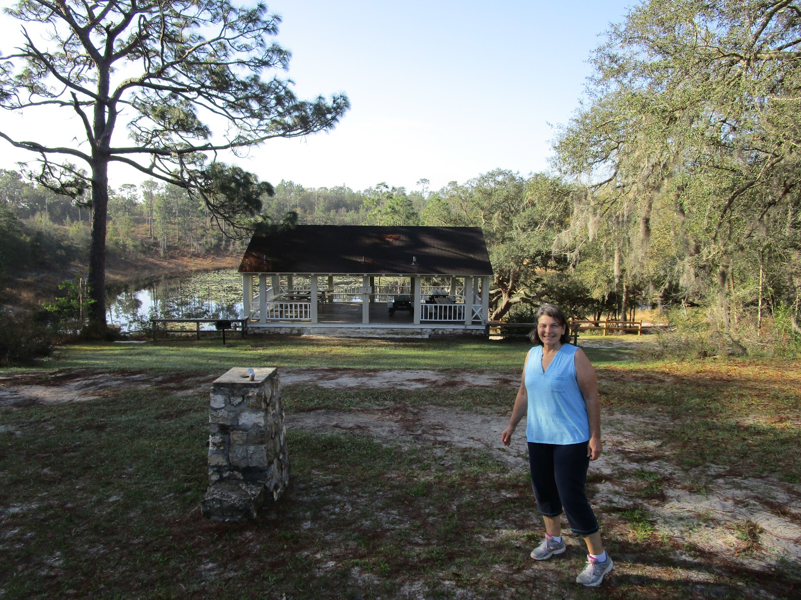
Our travel days are short--usually less than 250 miles. Today was not different. We took the back roads once we left North Charleston. Our destination was Wateree Recreation Area on Lake Wateree. The recreation area is managed by Shaw AFB which is located in Sumter, South Carolina. We arrived at the campground around lunch time and the office was closed. We had reservations so we knew which site was ours. The roads within the campground were a little hairy, narrow with pine trees growing close to the road. Our site was located on a hairpin turn on the upper level of the campground. Bob did a great job of getting us into the site!
 Our first sightseeing trip into Camden was to the National Steeplechase Museum. I had no idea that Camden was home to steeplechase events.
We watched a short film on the history of the steeplechase, and then viewed the museum. The silks worn by the riders were on display above the pictorial exhibits.
 I thought this was just a model of a training horse, but while we were there, a rider came in to practice! He rode the horse about 5 minutes, practicing different positions he would use in a race.
This scale was originally used to weigh the riders. The rider would sit on the left and counter weights were place on the tray at the right until the sides balanced.
After touring the inside of the museum, we headed outside to see the outdoor exhibits. This fence is a model of an original jump. The boards were made to break away if the horse did not clear the jump.
Newer fences had plastic tops to tickle the horse's belly as it went over.
The place of honor in front of the museum was a bronze statue of Lonesome Glory--the only 5 time winner of the Carolina Cup.
Another impressive horse was Battleship. It was the first American bred horse to win the British Grand Nationals. The horse was owned by Marion Dupont Scott (wife of the actor Randolph Scott).

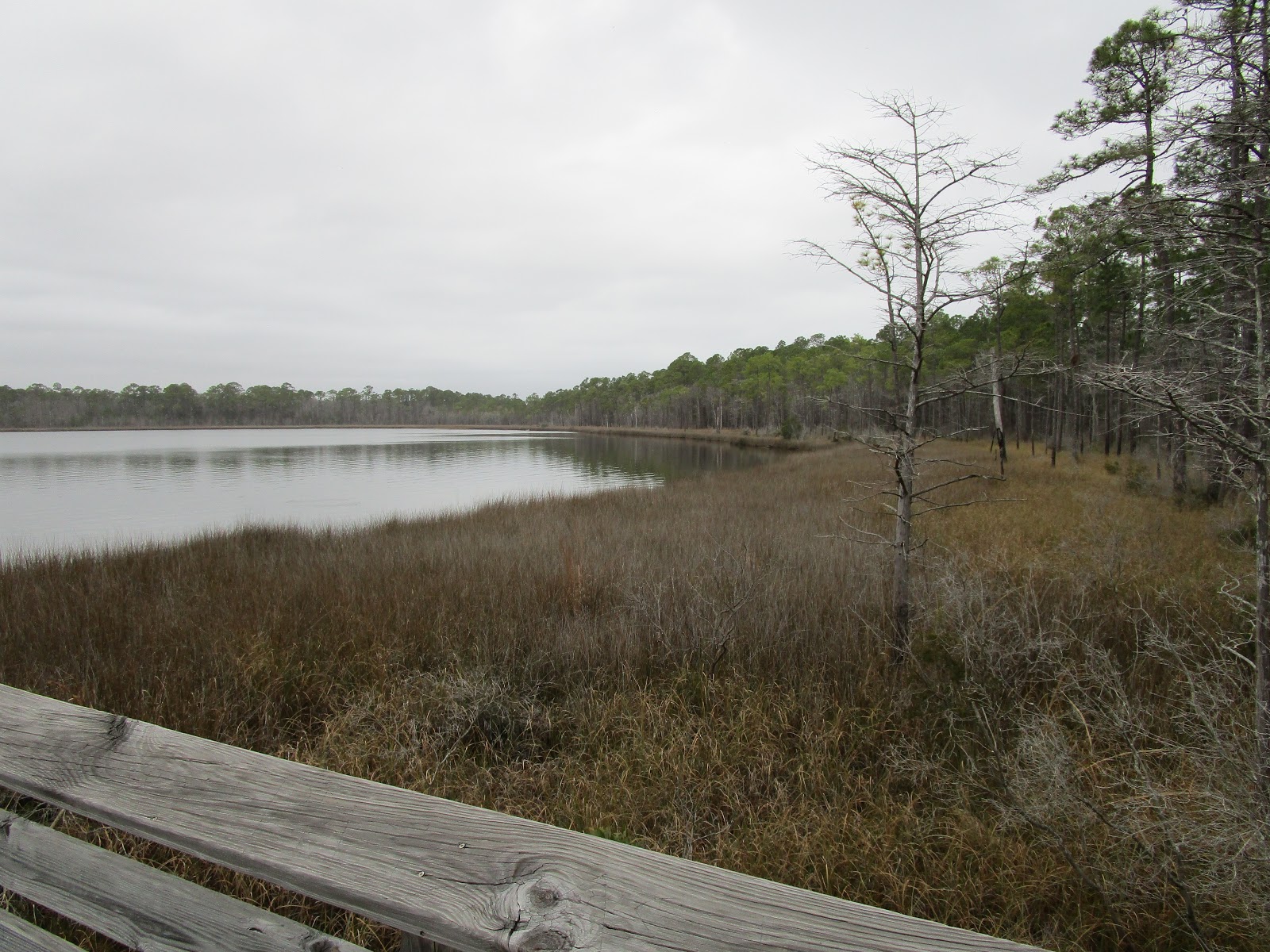
Our next stop was Camden Battlefield. Due to crummy weather, we picked up information on the battlefield so we could tour it on a nicer day. We drove north of town to the second Revolutionary war site. We found it had walking trails which we would also do on another day. We read the kiosk and learned South Carolina had more Revolutionary War skirmishes than any other state.

Our second full day turned out to be nice so we went back to the battlefield north of town to get some steps. Our fitbits were sorely lacking in the step department.
 The trail was interesting as there were signs describing the battle and troop placements.
After walking the trail, we headed to Wal-Mart to get supplies. We happened to find a South Carolina Atlas & Gazetteer, which we had been searching for for quite some time. The cashier noticed it and asked us if we had been to Forty Acre Rock. Of course, we had never heard of it. She told us how to get there and we put it on our list of places to see. When we got back to Sol, we looked through the Gazetteer and also found Hanging Rock. Hanging Rock was also a Revolutionary War site. It was well off the beaten path and we were glad we found it!
The Patriots surprised the British at this location. It was difficult to imagine how anyone could sneak up on someone at this location, but they did.
 From Hanging Rock we continued to Forty Acre Rock. True to its name, it is a huge rock! There are trails around the rock and near a waterfall.
 We found a huge "painted rock" near the main entrance.
 We finally made it to the town of Camden to tour that portion of the battlefield. The Kershaw-Cornwallis house was the focal point of what was once Camden. Cornwallis used this house as his headquarters during the British occupation of 1780-1781.
While in Camden, we found that a baseball Hall of Famer was born and raised in the area--Larry Doby. He was the first black to sign with the American League. He signed 11 weeks after Jackie Robinson signed with the National League.

On our final full day at Wateree, we decided to drive to Columbia to visit a craft brewery. We chose Swamp Rat, but on arrival, we found they were having an anniversary event and parking was at a premium. I used the search function on the phone and found Conquest Brewery less than a mile away! You have to love a brewery where the brewmaster has a wicked sense of humor!
 Bob and I enjoyed our brews and then it was time to head back to Sol.
Our adventure was moving closer to Gaffney, but not too far from Wateree Recreation Area.

Monday, March 26, 2018

Charleston, South Carolina---

Well, it looks like it has happened again....I am slow updating this blog.

It only took a few hours to make the trip from Savannah, Georgia, to North Charleston, South Carolina, the location of Charleston AFB. Since we had to leave our campsite in Georgia before eight a.m., we got on the road very early! We took I-95 north and stopped at the South Carolina Welcome Center. It was not open, so we sat back and enjoyed breakfast in Sol while waiting for the opening. We picked up brochures for the areas of South Carolina that we would be visiting and then we got back on the road.

Once we arrived at Charleston AFB, we were assigned the last full hook-up site! If we had arrived any later, we would have gotten a water and electric site since those were the overflow sites.

We spent the afternoon going over our brochures and planning our stay in the Charleston area. The following day we drove to the visitor's center in Charleston. We decided to spend the day walking through the historic district. I always enjoy seeing the old houses with the main entrances on courtyards, instead of facing the street.
Of course, some are more elaborate than others.
 It was a breezy day, but we enjoyed our stroll along the river.
After our walk down King Street to the battery, we walked back to Market Street to stroll the marketplace. Near the marketplace we spied an escape room. Unfortunately, it didn't open until much later in the day.
 We had a late lunch in an old pub and then headed back to the car and Sol.

Our next adventure took us to Fort Sumter. We have been to Charleston several times, but the weather was not nice enough on those trips for us to brave the ferry trip to the historic fort. This time, the weather cooperated! This sign is at the entrance to the museum and ticket office for the ferry.
 The ride out to Fort Sumter was interesting. The land you see beyond the fort's walls is the result of dredging the river to make it more accessible for large ships. During the Revolutionary War, the fort had water all around it.
 This view from the fort gives more of an idea as to how the fort defended Charleston, keeping ships away from the harbor.

We returned to Sol after our Fort Sumter trip. It was time to plan our adventure to Francis Marion National Forest. We drove to the visitor center to check out the hikes and to get directions to the campgrounds. We walked the nature loop around the visitor center and viewed the red wolves the forest service it trying breed. I thought we had pictures of the wolves, but evidently we didn't take any pictures this day. We enjoyed our hike and then moved a few miles further north to Buck Hall Recreation Area. It is on the coast and has RV campsites with not hook-ups. Bob checked on-line and found that it is booked for the spring camping season. It looked like a nice place to stay. We parked in the day use area and hiked a portion of Palmetto Trail. This trail takes you from the mountains in northwest South Carolina to the Atlantic Ocean.

We drove a different route back to our campground, making a stop at Snafu, a local craft brewery in North Charleston. The beers were good and it was a nice break after our hiking.

Our next adventure took us to Magnolia Plantation and Gardens located on Ashley River.  The plantation was originally settled in 1676. The house was rebuilt after the Civil War.
We hiked around the historic rice fields and enjoyed the spring blossoms on Japanese magnolias and  azaleas.
 Our stay in the Charleston area was coming to a close. It was time to take care of chores like laundry and grocery shopping before continuing our trip.

Friday, March 9, 2018

Savannah, Georgia--an Old Favorite

As usual, we took the back roads, not the interstate to get to our next destination. It was a nice,
peaceful drive to Savannah, Georgia. Our stop for three nights, Keller's Flea Market, a member of Harvest Hosts. Once we arrived, we had the option to have electricity or to boondock. Since the weather was warm, we chose electricity. After we got settled, we went for a walk around the empty flea market stalls.

Saturday, we drove to downtown Savannah. We found a parking place near Service Brewing Company, which, it just so happened was tapping a new beer that afternoon.
We walked down to the River Walk and explored the shops. Savannah has a wonderful River Walk that was built for the 1996 Olympics. The yachting events were held on the Savannah River. Unfortunately, the easternmost section of the River Walk is in minor disrepair. There was a plaque next to the Marriott, stating that it was home to the Olympic Village.
 From the River Walk, you get a good view of US17 bridge across the Savannah River.
 After spending most of the morning walking and seeing the sights, we returned to Service Brewing Company to sample some craft beer and have barbecue from the food truck. We were some of the first to arrive, but business quickly picked up and the crowd kept the bartenders hopping.
 We returned to Sol and took another walk around the flea market, this time stopping to look at the wares for sale. Nope, didn't buy anything, just enjoyed looking.

Sunday we had to decide if we wanted to stay longer in Savannah. The flea market locks it gates at 8 a.m. on Monday morning to reopen again on Friday. Naturally, we didn't want to be locked in! Bob and I drove to Hunter Army Airfield to see if they had any sites at their campground. We read the reviews and it didn't sound promising. We finally found an entrance to the post, and eventually found Outdoor Rec where you check-in. Well, the man who handles the campground was not in, but the one on duty said the campground was full, but there was an overflow area with water about 50 feet down the road from the campground entrance. Bob and I drove to the campground to check it out. The area was overgrown and the place to park was not level. We could have made do, but once again weather was a factor. We had the rest of the afternoon to make a decision. We drove to Fort Pulaski to think about it.

It had been quite a few years since our last visit to Fort Pulaski. This time we took the guided tour.
Once we finished the guided tour, we walked around the exterior of the fort to see where the cannonballs from Union troops decimated the walls in the Civil War. It was a nice day for a walk, not too hot, not too cool, but, we didn't factor in mosquitoes! As we walked through the grass, I looked down at my legs and felt like I was the before picture for an OFF commercial...my legs were covered with mosquitoes. Of course, they didn't attack until we were half way around the exterior and we had to hustle to get back to the parking lot without being eaten alive! 
From Fort Pulaski, our next stop was Tybee Island. Seafood sounded like a good option for lunch. As we drove around the island we found that no matter where you parked, there was a parking meter....we saw parking meters in some of the oddest places. Nothing on the island appealed to us so we went with the known, the Crab Shack just off the island. Bob and I both had steamed shrimp, which we enjoyed, but they weren't as good as Joe Patti's in Pensacola.

So, we made our decision about Hunter Army Airfield, we decided we would move on to Charleston, South Carolina early Monday morning.

Tuesday, March 6, 2018

Looking for Better Weather!

After spending 10 days at home, with temperatures in the upper 80s, we decided it was time to start our trip to Gaffney, South Carolina, where  Sol would have a two year maintenance check-up. Our first northbound stop was not far from home....Mike Roess Goldhead State Park near Keystone Heights, Florida. It had been a few years since our last visit and we were hoping there was a site open since we didn't have a reservation. If there wasn't a site, we would eat lunch at the picnic area and move on. Luckily, they had a site for the night (Thursday). Like most campgrounds in Florida state parks, Goldhead fills on the weekends.
Once we set up and ate lunch, we went for a walk which turned into a hike. We left our campsite and went to the old mill site. From there we took Ridge Trail to Fern Loop Trail near the ravine.
 In the background, you can see the steps leading to the parking area at the ravine overlook. Bob is standing near the Fern Loop Trail. We didn't go up the steps on this walk.
After Fern Loop Trail, we followed Ridge Trail back to the trailhead and took Loblolly Trail back to the mill site and then we returned to our campsite. The walk turned into a hike of over 3 miles.

The following morning, we took a short walk from the campground to one of the lakes. The picnic pavilion overlooks a small lake. On our last visit, the lake was almost dry. Due to Hurricane Irma, the lake now has quite a bit of water.
 Once back to Sol, we packed everything and got on the road, heading to our next destination: Savannah, Georgia.

Ocean Springs, MIssissippi

If you look on the map, it is not a great distance from Pensacola to Ocean Springs, Mississippi. We took our time and stayed on back roads until we approached Mobile, Alabama. We have found that it is better to travel through Mobile on I-10 because of the tunnels. One time when we were going through Mobile, not on the interstate, we came upon a tunnel where it was questionable whether we would clear the entrance. We made it by inches! So, after that trip, we always stay on the interstate to 'clear' Mobile. We exited the interstate just before Ocean Springs. Our next stop was Davis Bayou Campground, another part of Gulf Islands National Seashore. We would use that as our base for the next week.
 The campground was nice and it had a short nature trail that led to the visitor's center. Along the way we found some interesting trees.
 One day we drove to Pascagoula to do some geocaching. It was a cold, windy day, but we thought we might find a few caches. A few was all we found. Many were missing.
 Since the weather wasn't cooperating with our outdoor activities, we found a nice museum in Biloxi, Maritime and Seafood Industry Museum. The museum chronicled different types of boats used by the locals as well as a history of the seafood industry---especially oysters and shrimp. This is Nydia, a sloop built in 1898 and restored not too long ago. She was a frequent winner in local sailing races.
 On our other days, we spent a little time in some of the casinos. Friends from home met us in Biloxi. Bob played golf with Rich on the only good day we had. While the boys golfed, Marilyn and I played slots. We had all planned to stop at Bill and Bonnie's in Crawfordville to do an escape room. Unfortunately, Bill was under the weather and we decided to stop another time.

Since we didn't go to Crawfordville, Bob and I took I-10 all the way to Chattahoochee, Florida. We stopped at East Bank Corps of Engineer Campground. We got the last site! It had just been graveled and it was a bit muddy since it was raining. We stayed for three nights, then headed home to get ready for the next leg of our trip.

Our Next Adventure--The Florida Panhandle

Soooo, I haven't posted in quite a while. Yes, we are on the road again, but just for a short time. Short to us is 2 months. We left home and made our way to Crawfordville, Florida, to visit our friends for a night before heading to Pensacola, Florida. While we were checking in at Blue Angels' Recreation Area, the clerk told us the best and freshest seafood in the area is at Joe Patti's at the end of A Street in Pensacola. You can visit the restaurant a block away, or you can choose your seafood and have them steam it in the seafood deli. We chose the latter, and boy, was it good.

Sol was parked in site 50 of Battleship Row. It was a good site, away from most campground traffic and backing on the woods. All the sites in this loop had concrete pads and the trees were not a hazard. The other campground loop had dirt pads and the trees would have posed quite a problem for Sol if we had chosen that loop.
While at Blue Angel's Recreation Area we were able to do some hiking and exploring. Our first hike was around the many trails at the recreation area. The trails were on the outer edges of the three disc golf courses located at the rec area.


Our next hike was at Tarkiln Bayou Preserve State Park. We walked a portion of the long trail, Perdido Bay Trail. Bob had loaded our GPS with geocaches and we added a few to our total. Along the trail we found some gnarly trees.
 Perdido Bay Trail loops near Perdido Bay.
 
After we did about 3 miles on Perdido Bay Trail, we retraced our steps and walked Tarkiln Bayou trail. This trail is a boardwalk over the swamp to the bayou which empties into Tarkiln Bay. In the spring, there are unusual plants which are unique to the area. Unfortunately, it was not spring and no sign it was coming any time soon.
 Another day we went to Gulf Islands National Seashore on Perdido Key. Even though it was windy and cool, were able to walk the short boardwalk nature trail.
 As you can see from this picture, the handrails are warped even though they are the composite material used in most new decks.
 This picture shows all the handrail is warped. So far the foot boards are straight, maybe because they have more nails to hold them in place.
 From the nature trail we walked across the main road to the beach area.
From Perdido Key, we returned to the Pensacola area to visit Fort Barancas which is located on Pensacola Navy Station.
 Our next hike, we went to Big Lagoon State Park to hike.The first stop was the observation tower. Yes, the wind was blowing and it was another cool day.
 The Blue Angels treated us to a fly-by. It is hard to tell from this picture, but there are three planes flying in formation.
 There were several places with decks overlooking small lakes. And yes, there were geocaches located near each one.
 Other than the Blue Angels, the only other interesting sight was this armadillo.
Our days of hiking near Pensacola came to an end as the following day, our last day in the area, was predicted to be rainy and cold. That day was our day to visit the base bowling alley. Bowling is one of our favorite past times when the weather doesn't cooperate.

Next stop......Ocean Springs, Mississippi!