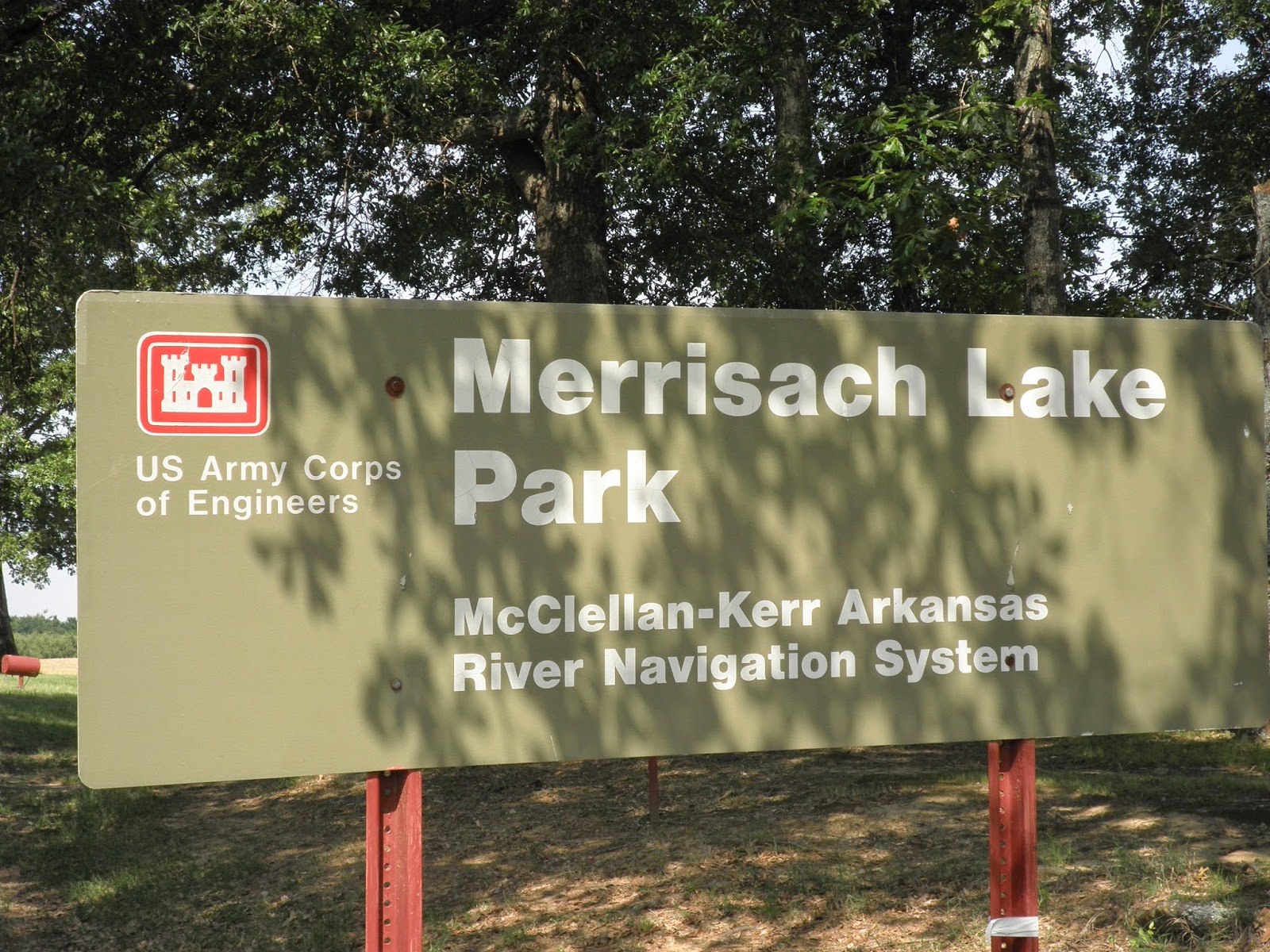
It didn't take long for us to get set up and find out that once again, Bob had chosen a great site for us. We had a picnic ramada......
..... and when we sat out under the awning, we had a wonderful view of the lake.
The McClellan Kerr waterway was hidden behind the trees at the rear of our site.
Saturday, true to form, we set out to geocache. Unfortunately for us, this part of Arkansas doesn't have many geocaches. We found the one on the way to Arkansas Post State Park and the one planted at the park.
The park was open so we looked around the buildings that had been moved from the original Arkansas Post which was just down the road. This house was once the original park office. The room on the left is a bedroom and the room on the right is the winter kitchen and sitting room.
As with many of the old houses, the breezeway allowed a cool breeze to cool both rooms.
From the state park we drove to Arkansas National Monument. We visited this monument on our first retirement trip in 2007.
We toured the museum and the grounds before heading back to the RV for lunch.
Friday we rode our bikes to the nearby White River National Wildlife Refuge. We turned around at the entrance as we did not have permits to enter the refuge.
We returned later in the day with permits and drove the back roads of the refuge. At one point we thought we were on the set of Walking Dead as this sign was not up to par with the others we saw.
We stopped to take a picture of a huge snake in the road, but before Bob snapped the picture, the snake slithered away.
We got out of the car to look around Jack's Bay. Many people launch fishing boats here.
We rode our bikes again on Saturday, this time out to Wild Goose Park at the end of Wild Goose Lane in the refuge. We passed lock number one on the McClellan Kerr waterway and saw a tug pushing a barge ready to go into the lock.
Sunday we planned to ride to St. Charles to see the interpretive center for the refuge. Unfortunately, the center was closed, but we did walk the nature trail across from the center. We kept seeing this plant, but it was not listed on any of the interpretive signs.
From St. Charles we drove to Ethel with hopes of walking a trail to see one of the oldest trees in Arkansas. Well, it was a good plan, but the road to the trailhead was flooded.
Once we returned to the RV, we decided to ride bikes again on Monday as most of the other campers would be leaving the campground. This would be our longest ride yet. We crossed the bridge over the waterway and headed for Notrebes Bend COE Park near Wilbur D. Mills Dam. We stopped opposite the campground to take a picture. You can't see our RV from the other side, but it is three sites to the right of the one you can see.
We made a stop at Wilbur D. Mills Dam and walked down the steps to watch all the people fishing at the base of the dam.
On the far side of the dam was another lock. Water flowed continuously through the dam as the water level on the White River is high.
On the way back to our campsite, we had to cross THE BRIDGE! I think it was steeper going back! When we got back to the campsite, the GPS read 18 miles! The ride was enjoyable and the only difficult part was THE BRIDGE.
Tuesday would be another travel day, but this one would relatively short. We only planned to drive about 175 miles.


No comments:
Post a Comment