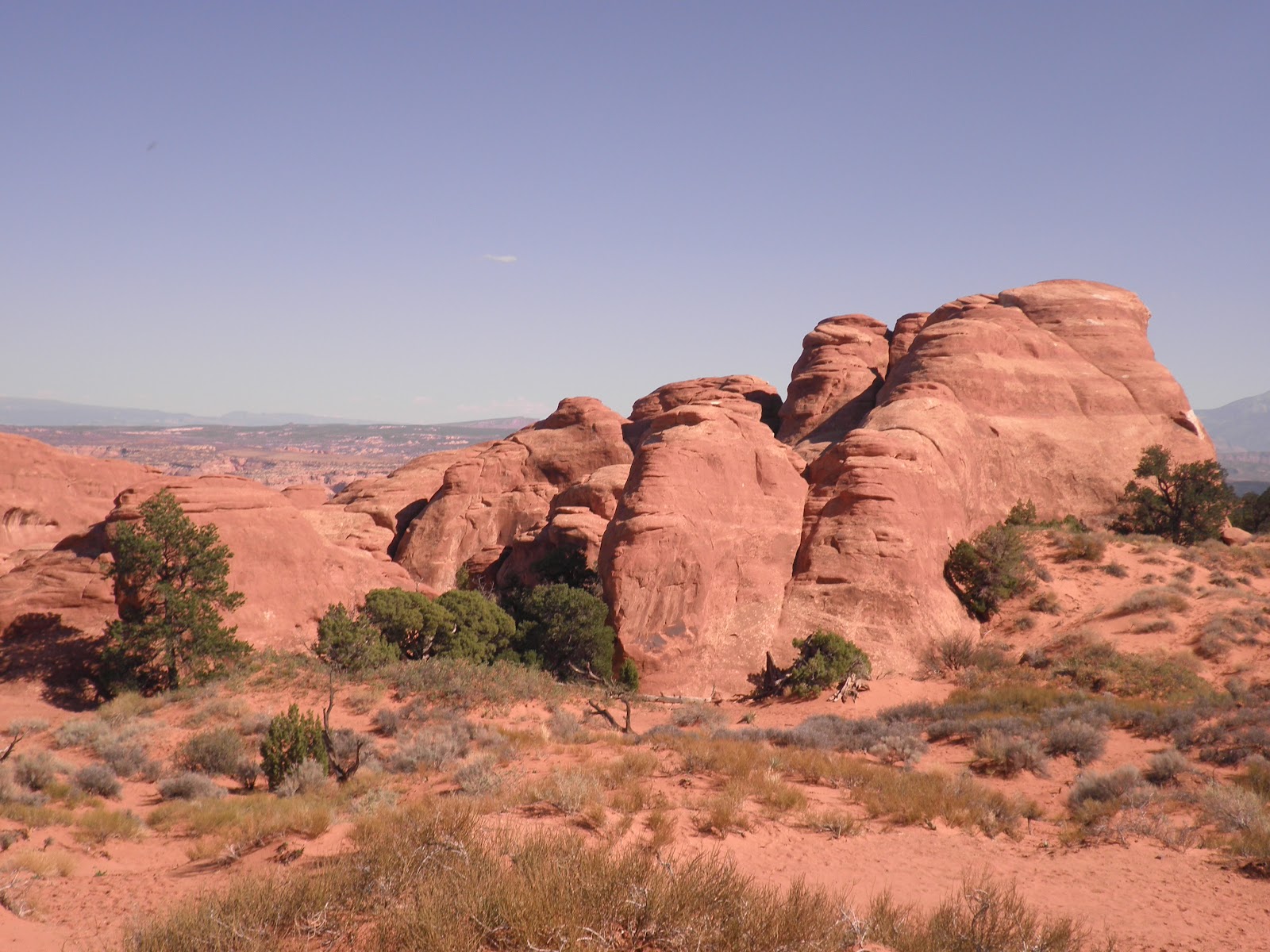
Blanding was just a short drive from Goosenecks. Bob found a National Forest campground nine miles north of Blanding that looked promising. When we arrived we were pleased with the accommodations!
The campground had been recently refurbished and the site we chose got excellent sun during the day for our solar panels. Of course there were no hookups, but a water faucet was nearby so we could replenish our diminishing water supply! In addition to being a great campsite, we had great phone, Internet and television reception, which we found unusual considering the remoteness of Devil's Canyon Campground.
Once we were set up, we drove back toward Blanding collecting geocaches along the way. There were several near Recapture Dam and Lake, but some were missing.
When we arrived in Blanding we toured the Visitor Center and picked up another cache as well as information on things to do in the area.
Then it was back to the rv to plan our activities until time to move on to Moab on Oct. 3. Plan A: visit Canyonlands National Park, Needles District on Friday.
Bob downloaded geocaches along our route to Canyonlands. It was a nice drive to a park we hadn't yet visited. One of our first stops was a campground/restaurant where a geocache was located. We never would have noticed this place if we hadn't been geocaching.
Our next stop was at Newspaper Rock. It is on BLM land. This rock has been used for many years for Ancient Puebloans and pioneers to carve their stories.
Our next stop was an old uranium mine. There was a geocache located in the rocks above the mine entrance.
Then it was on to Canyonlands NP!

We looked around the visitor's center, talked to a ranger about the hikes available and off we went to tour the park. Canyonlands has three distinct sections and we were touring the Needles District. The other two sections can't be reached from this one! They are Island in the Sky and The Maze.
We chose to hike the Pothole Point Trail, Cave Spring Trail and Roadside Ruin Trail. As we drove from Roadside Ruin to Cave Spring Trail we passed the Wooden Shoe Arch.
Bob and I found that ladders are a standard feature of the trails in this area!
This is a replica of an old cattle operation located on the Cave Spring Trail.
We enjoyed our hikes in Canyonlands......
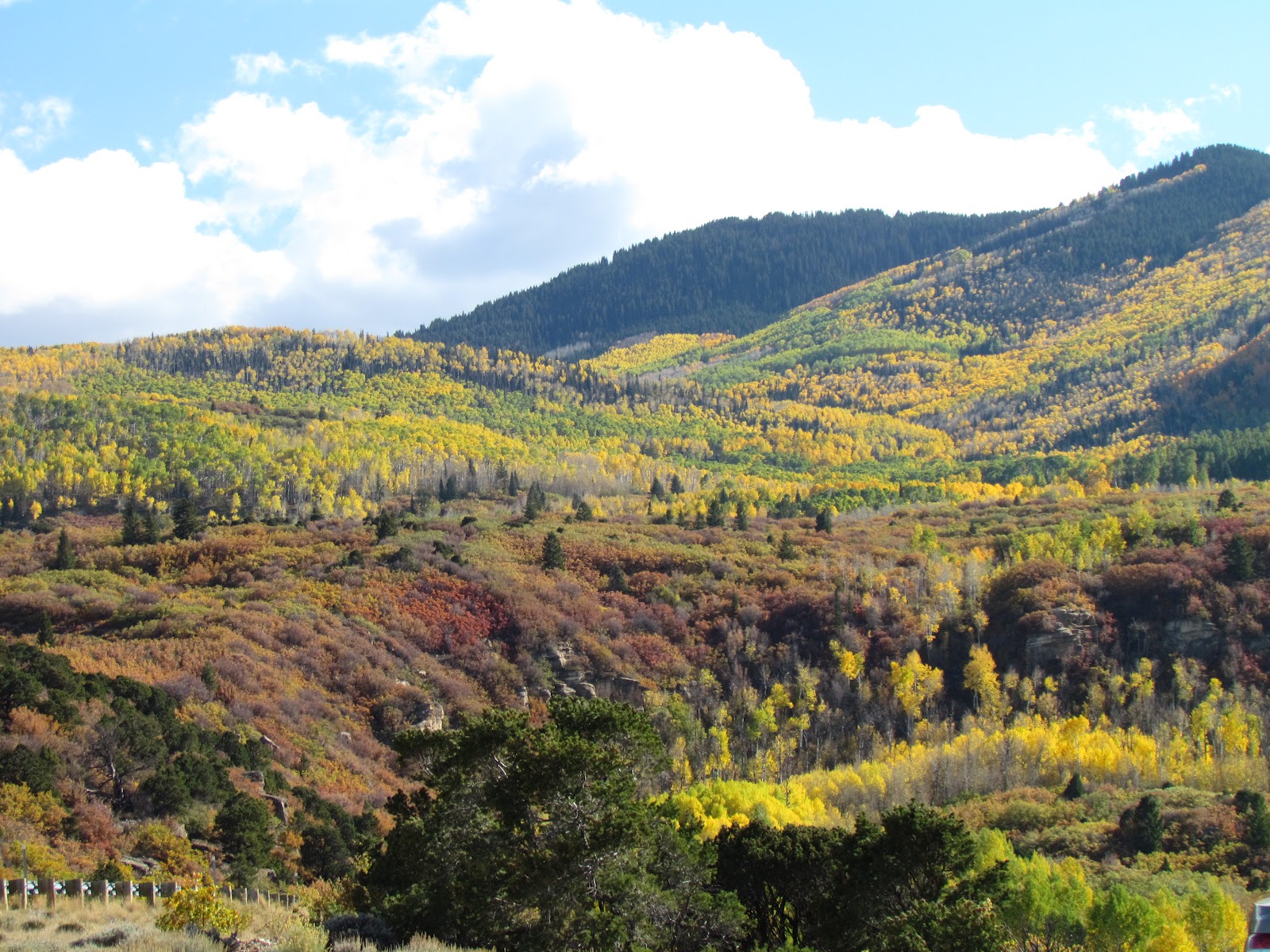
....and our drive back to the campground. We took a different route back--one that took us over Blue Mountain. The leaves were changing at the higher elevations.
The mountain had a patchwork of green (pinon pines and Utah junipers), red (oaks), and yellow (aspens). It has been quite a long time since we have seen foliage colors like this.
Once back at the campground, it was time to make Plan B for Saturday. It looked like more geocaching as we drove to another great national monument--Natural Bridges.
Saturday morning, as we drove toward Natural Bridges, we stopped at Mule Canyon to visit an Ancient Puebloan kiva ruin. It is interesting to see all the ruins in the area.
Then it was on to Natural Bridges National Monument. It is a smaller park than Canyonlands, and it has different features.
After the prerequisite visit to the visitor's center, we drove the nine mile loop road to view the three bridges. Our first stop was Sipapu Bridge. There was a hike that goes to the bottom of the bridge, so off we went after viewing it from above. There was a change of 500 feet in elevation. We did much better on this hike than we did on the one at Canyon de Chelly. I think we're getting used to the higher elevations.
Of course, there was not one, not two, but three ladders to assist in the descent to the canyon floor. This was the easiest ladder of the three.
Here is view of the arch from about halfway down.
Here we are at the bottom of the arch. It was cool under the arch and at one time there was water running through the canyon floor. On this day there was just a small pool of water.
As we continued our drive, we stopped at the Horseshoe Ruins Overlook. It got its name from the shape of the doors cut into the granaries.
Then it was on to view the other two bridges--Kachina....
.....and Owachomo. We hiked to the bottom of Owachomo since it only had a change in elevation of 180 feet.
Then it was time to head back to the rv. Of course we geocached on the way back since we still had plenty of daylight. Once we got back, we sat outside and enjoyed the sunset/moonrise. This picture was taken facing east. The sunset provided the blues and pinks as the moon rose above the horizon.
Sunday was our chore day---UGH! We needed to do laundry. Since most stores are closed in Utah small towns on Sunday, we were hoping that the laundromats wouldn't follow suit! We were lucky, one of the two laundromats was open! After we got our laundry done and back to the rv, we had lunch and decided to do some more geocaching. This time we headed east of the campground along county roads (translation - gravel) looking for BLM Three Kiva Pueblo.
.
Our first geocache stop was at the top of a canyon. We looked and looked, but could not find this one. However, we did enjoy the view.
We found Three Kiva Pueblo, no caches here, but we did enjoy looking around the site.
We even climbed down into the kiva to have a look around. I can say that the Ancient Puebloans must not have been very tall as we had to duck.
From Three Kiva Pueblo we headed south back to town.. We found another geocache named Ruins and
Petroglyphs so we were surprised to see ruins and petroglyphs that were
unprotected near the cache.
We think this may have been a granary because of its shape.
After arriving back at the rv after a successful afternoon of caching, we decided to walk to the lower campground loop and hike the short nature trail. What a surprise to find ruins across the canyon from the trail!
Monday we did some grocery shopping and visited
Edge of the Cedars State Park in Blanding. The state park has quite a collection of artifacts found in the area and was well worth the visit. Behind the museum is a rebuilt ruin, complete with kiva.
Our last day was also spent geocaching, but this time in the town of Monticello. Our first stop took us to a memorial park that used to be a vanadium mining site during World War II. After the war it was used to process uranium. Needless to say all sorts of problems resulted from that process. Today the site is a park complete with a walking trail to memorialize those affected by the uranium.
After a walk through that park, we went to Lloyd's Lake, and found two caches as we hiked around the lake.
Then it was back to the rv so we could get ready for a day of travel. Next stop Devil's Garden Campground in Arches National Park. At this point we don't know if we will have Internet or phone service, but if we do, I'll post every few days. We will be there for a week!