Monday, May 26, 2014

Merrisach Lake COE Park, Arkansas

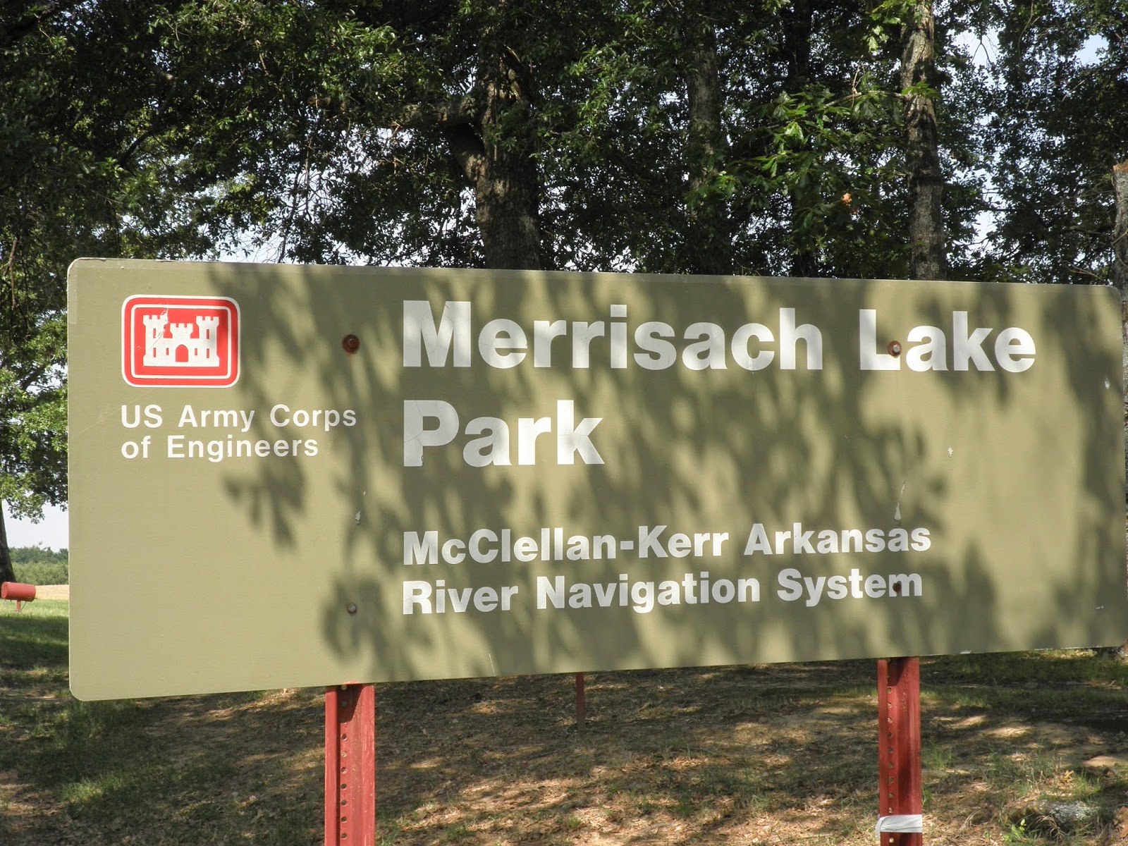
Thursday we had an uneventful drive from Choctaw Lake to Merrisach Lake COE Park, Tichnor, Arkansas. The drive was less than 250 miles, but still a long day for us.

It didn't take long for us to get set up and find out that once again, Bob had chosen a great site for us. We had a picnic ramada......
..... and when we sat out under the awning, we had a wonderful view of the lake.
 The McClellan Kerr waterway was hidden behind the trees at the rear of our site.

Saturday, true to form, we set out to geocache. Unfortunately for us, this part of Arkansas doesn't have many geocaches. We found the one on the way to Arkansas Post State Park and the one planted at the park.
 
 The park was open so we looked around the buildings that had been moved from the original Arkansas Post which was just down the road. This house was once the original park office. The room on the left is a bedroom and the room on the right is the winter kitchen and sitting room.
 
 As with many of the old houses, the breezeway allowed a cool breeze to cool both rooms.
 From the state park we drove to Arkansas National Monument. We visited this monument on our first retirement trip in 2007.
 We toured the museum and the grounds before heading back to the RV for lunch.
 Friday we rode our bikes to the nearby White River National Wildlife Refuge. We turned around at the entrance as we did not have permits to enter the refuge.
 We returned later in the day with permits and drove the back roads of the refuge. At one point we thought we were on the set of Walking Dead as this sign was not up to par with the others we saw.
 We stopped to take a picture of a huge snake in the road, but before Bob snapped the picture, the snake slithered away.

We got out of the car to look around Jack's Bay. Many people launch fishing boats here.

 We rode our bikes again on Saturday, this time out to Wild Goose Park at the end of Wild Goose Lane in the refuge. We passed lock number one on the McClellan Kerr waterway and saw a tug pushing a barge ready to go into the lock.

Sunday we planned to ride to St. Charles to see the interpretive center for the refuge. Unfortunately, the center was closed, but we did walk the nature trail across from the center. We kept seeing this plant, but it was not listed on any of the interpretive signs.
The nature trail was nicely paved and had many signs along the way.
 From St. Charles we drove to Ethel with hopes of walking a trail to see one of the oldest trees in Arkansas. Well, it was a good plan, but the road to the trailhead was flooded.
Once we returned to the RV, we decided to ride bikes again on Monday as most of the other campers would be leaving the campground. This would be our longest ride yet. We crossed the bridge over the waterway and headed for Notrebes Bend COE Park near Wilbur D. Mills Dam. We stopped opposite the campground to take a picture. You can't see our RV from the other side, but it is three sites to the right of the one you can see.


We made a stop at Wilbur D. Mills Dam and walked down the steps to watch all the people fishing at the base of the dam.
On the far side of the dam was another lock. Water flowed continuously through the dam as the water level on the White River is high.
On the way back to our campsite, we had to cross THE BRIDGE! I think it was steeper going back! When we got back to the campsite, the GPS read 18 miles! The ride was enjoyable and the only difficult part was THE BRIDGE.

Tuesday would be another travel day, but this one would relatively short. We only planned to drive  about 175 miles.
Thursday, May 22, 2014

Choctaw Lake at Tombigbee National Forest

After a long day of driving, to us that is over 250 miles, we finally arrived at our next destination near Ackerman, MS--Choctaw Lake.
  What a pleasant surprise when after we settled in to our site we found that we had good Internet.
 Then it was time for our customary toast! Cheers to Bob for finding this great site!
 We had reserved the site for 5 nights. After a little research, Bob found that there were over 700 geocaches within a 15 mile radius of our campsite! We took off in the car along a forest service road and found quite a few!
 Driving wasn't allowed on all the forest service roads so the next day we went hiking. The roads were shaded and most of the caches were not too far off the road in the woods. After about a 2.5 mile hike, we turned around and retraced our steps to our campsite.
Another day we drove into Starkville, home of Mississippi State University. Bob read a review of a Mexican restaurant that sounded like we needed to try it. He was right. We found Chili's in Starkville and sure enough there was a Mexican restaurant just next door. It was delish! I had shrimp enchiladas and Bob had a shrimp burrito. The filling in my enchiladas reminded me of Gengie's (my grandmother) shrimp gravy!

Of course with so many geocaches to be found we drove out of the park and along another forest service road where we could park and hike the closed road. We found most of the caches, but due to a controlled burn several years ago, a few of the caches were missing. We did spot this critter as we hiked.
Choctaw Lake has been a happening place since the 1930s when the CCC and WPA built the spillway. About 10  years ago, the forest service built a trail around Choctaw Lake. We hiked it several times as it was scenic and had some caches hidden along the way. This board walk is on the northwest side of the lake.
This is a view of the lake from near the pavilion.
We had a great time at Choctaw Lake and it is on our list of places to visit again as we travel to and from Arkansas.

Friday, May 16, 2014

Gulf Islands National Seashore


 Once Bob and I figured out when we would be leaving home, he made reservations for us to stop along the way. We usually don't make reservations, but we wanted to be sure we stopped at places we have never been. Gulf Islands National Seashore was one of those places! It was definitely a good find. Due to the torrential rains that pounded the area in late April, early May, we called to make sure the roads and the campground were open before we arrived. Once we got to Santa Rosa Island, it was an enjoyable ride to the campground with vistas of the Gulf of Mexico to our south and Pensacola Bay to our north.

After we set up our campsite, I was off to walk on the beach! Bob and I took a walk later in the evening and he almost caught a good sunset.
 We had the beach all to ourselves. We looked for ghost crabs, but all we saw were their holes.
 The next morning we rode our bikes to explore the park. There were several virtual caches in the park at the batteries from WWI and WWII. The first one we found was at Langdon Battery not far from the campground. We got the information we needed from the sign and then we hiked to the top of the battery.
 This is one section of the battery where the big guns were housed to protect the coast. Bob and I hiked to the top of one of these.
 From Battery Langdon we rode to Battery Worth. I climbed to the top of the battery after we found the information we needed for this step of the cache.
From Battery Worth we rode to Ft. Pickens and took time to tour the fort. The section of exposed arch on the right was blown away when the magazine containing 8000 pounds of black powder exploded! Debris went across Pensacola Bay to the Naval Air Station!
The arches in the fort were made to support the heavy guns. The shifting sands below the fort were also a problem so below each arch you see is a reverse arch to help stabilize the building.

 Upon leaving Ft. Pickens, we rode to Battery 234 and Battery Cooper to complete our virtual geocaches. Then it was time to go  back and relax at the camp site. We had ridden our bikes over 8 miles.
 That night we went for another walk along the beach. The wind was a bit cooler, but it was still a nice walk.  During the night it rained so we weren't sure what the weather would be the next morning. As it turned out, it was a windy, overcast day. We decided to drive to the fort and walk the perimeter wall.This is a view of the main fort from the wall near Pensacola Bay. Ft. Pickens is the largest of the coastal forts.
 Once we got back to the entrance portion of the wall, Bob got a picture of the name.
The weather continued to deteriorate so we returned to the RV to wait out the storm. It rained again that evening and was very windy the following day. Hmmm, we thought it would be a good day to sight see  indoors! Off we went to Pensacola Naval Air Station to tour the Naval Air Museum.It turns out this is the 100th anniversary!
 Bob and I visited the museum once about 10 years ago, before we retired. Additions have been made and displays have been changed since that time. We both got a kick seeing this exhibit.
 After touring the museum, we made a stop at the commissary before returning to the park. The wind had died down and it had turned into a beautiful day. We took a walk along the nature trail and into the next campground area which was closed when we arrived on Monday. Evidently the campground loops B, C, D, and E finally dried out and are now available to campers.

Bob took pictures of the wildlife we saw along the way.
 There were so many osprey nests with osprey nearby that we were able to get many good pictures. This is one of an osprey guarding its nest.
 We enjoyed the walk along the nature trail.
This is the lagoon/marsh next to our campsite. There is an armadillo that lives in the undergrowth, but every time we try to get a picture, he hides!
Friday dawned chilly--48 degrees! It didn't take long for the temps to warm. Bob and I drove out of the main gate and stopped at the first beach parking area at Pensacola Beach. The bike trail begins there and goes for most of the length of Santa Rosa Island. There were   geocaches to be found! We rode our bikes about 5 miles before turning around and heading back to the car. It was a great ride! Yes, we found all but one geocache. It was supposed to be located somewhere on this walkway to the beach.
 After geocaching, we returned to the car and drove about a mile back to Peg Leg Pete's Oyster Bar. We had a good lunch of shrimp and catfish before heading back to the RV. We stopped at the park entrance  to get a picture of the sign.
 Later in the afternoon we walked the trail to the bookstore at Ft. Pickens. I needed to get my US National Park Passport stamped. Well, best laid plans didn't work. The bookstore closed early for some reason and was not going to reopen until the next morning. May be I'll go back and get it stamped or I could wait until we visit again as I know we will return.

 As we walked back to the campground we spotted an armadillo near the trail.
  I also asked Bob to get a picture of Battery Worth so you could see the entire center portion where I made it to the top! Lots and lots of steps!


 Walking the path was like being in Alaska only we were spotting osprey instead of eagles! Here are two osprey in the same tree!
 We have thoroughly enjoyed our visit to Gulf Islands National Seashore and we plan to return some day. Tomorrow is a travel day and our destination is a National Forest Campground in the midsection of Mississippi. Our plan is to be there five days. We have no idea if we will have internet coverage so tune in to see when I publish a new post.

Heading Northwest---First Stop, Suwanee River State Park

After being home for almost 3 months, it was time to get back on the road. Bob and I are headed to Siloam Springs to meet Cathy and the grand kids. Have we got a trip planned for them!

Our first stop was Suwanee River State Park about 11 miles west of Live Oak, Florida.  This is the third time we have camped at the park. This time the water levels were higher than ever. All of the trails near the river and the sinkholes were closed.
 We had a great site, number 25, which was close to the bathroom. All of the sites have electric, water, and sewer hook-ups.  Other than mosquitoes, the only other annoying critter was a snake.  We weren't sure if it was dead or alive, and I certainly wasn't going to check to find out!
While we were at the park, we walked around the campground and out to the river.  It sure looks different when the water is high.
 Since we couldn't hike in the park, on Saturday, we drove west along US90 to Madison where we turned north on FL 145. Once we arrived in Pinetta, we parked at the post office and walked the bike trail south to pick up some geocaches. It was time to add to our numbers. We found all of the ones we were searching for in spite of the mosquitoes and gnats, and then returned to the campground.  Sunday, we returned to the area south of Pinetta and parked at a picnic area. From there we rode our bikes north to get more geocaches and then we rode south to get one more!  If you ever visit Madison, the Four Freedoms Bike Trail goes  just north of town to the Georgia state line, paralell ro  FL 145. Unless there are more caches hidden, we have found most of them at the northern end of the trail.

 We only stayed at Suwanee River State Park for 3 nights then it was on to our next stop, someplace new to us, Gulf Islands National Seashore--Ft. Pickens Area.