Thursday, May 21, 2015

Ten Mile Lake Provincial Park, Quesnel, British Columbia

Bob and I visited Ten Mile Provincial Park on our first trip through Canada. Quesnel is noted for its large gold pan on the north side of town. We didn't stop for a picture this time.  Connie and Larry arrived at the campground first and chose two sites side by side. Since there are no hook-ups for electric or water, it didn't matter which way we parked.  We prefer the social setting with doors opening on the same side.
Bob and I went walking on Lakeshore Trail. The trail close to the lake is wider than the trail through the woods.
The lake is a popular spot for boating, swimming and skiing in the summer.
During the winter the trail is used for cross country skiing.
Bob and I toured the historic town of Barkerville on our first visit. We recommended it to Connie and Larry. So while they went to Barkerville, we went to another provincial park north of West Quesnel--Pinnacles. Now, Bob and I have seen hoodoos in a lot of American national parks so we weren't expecting to see anything as grand as Bryce Canyon's hoodoos and we weren't disappointed.
  The Pinnacles were just in a very small area and the area was fenced to prevent damage.
 The views from the observation area were pretty good. Once we walked the .75 kilometer trail we discovered that the trail extended beyond the Pinnacle area along the ridge of the mountain. And yes, there were geocaches along the trail!
 Bob and I continued on the trail finding geocaches and enjoying the hike even though we weren't prepared for a long hike--we left the walking sticks and bear spray in the car. Bob did have one walking stick to help us search for the caches near Pinnacles observation area.

Well, as we walked and found caches, we came to an area where there were a lot of downed trees. The trail went around the area and near a small meadow with a stream running through it.  It was beautiful, but we were searching for caches. All of a sudden, Bob stopped and shushed me---he had seen a cub and a mother bear about 50 yards from us. We stood still and sang 'Clementine' as loudly and as off-key as possible. The mother bear raised up on her hind legs, took one look and listen to us and took off opposite direction! She had already shooed her cub that way. Needless to say, we don't have any pictures because we were more interested in singing than in photos! It was then that we decided to start back toward the car.  As we crossed the meadow, we spotted another bear and continued our singing--we had never stopped after the first bears. I think that is the fastest Bob and I have hiked a 2+mile mountain trail----ever!  Note to self: always take the bear spray and all the hiking sticks when going for a hike in the wilderness--no matter what the length of the hike!

Once back to the car we headed toward Quesnel to walk the city hiking trail. We crossed the pedestrian bridge over the Fraser River and returned to walk around town.
We made a stop at the Provincial Liquor Store for beer and wine before continuing back to the campground. The further north we go, the more expensive these items get. Even in this area, a case of beer is almost $50 after you add the deposits and taxes.

It was a beautiful day in Quesnel, but evidently, 50 miles away in Barkerville, it was cool and rainy all day.  Connie and Larry enjoyed their visit and like us, they were ready to move on up the road on Wednesday.

Our First Day in Canada!

Okay, so in our preparations to cross into Canada, I forgot to tell you that there is a ban on all raw poultry products entering Canada. Connie and I both had a lot of chicken in our freezers and eggs.Several days before we crossed, we cooked all our chicken and boiled all our eggs in hopes of being able to transport them into Canada. Since Bob and I had crossed at Sumas on our last trip, we decided that we would cross there again. It is a small crossing town just south of Abbotsford, British Columbia.  When we got to Sumas, Bob topped off our gas tank as we didn't know what the Canadian prices were going to be. Then is was on to Canadian Customs. We got through without a hitch and met Connie and Larry at the Flying J where he stopped after filling his tires with air.

Our goal while traveling through Canada is to boondock at as many places as we can. Well, our first day turned into a long one as we didn't stop until just north of Clinton. Bob and I and Larry and Connie both enjoy short travel days with time at the end of the day to relax and tour the area. We didn't stop until late afternoon at Big Bar Lake Rest area. The next morning, Bob and I found two geocaches near the rest area. 
Once we got on the road, our next stop was at the Visitor Centre in 100  Mile House. Each visitor centre or town has something they claim is the largest. This one has the largest cross country skis.
Bob once again topped off our fuel tanks--at $1.09 per liter. Much to our surprise, gas prices are about the same as they were 5 years ago when we made this trip.

We decided to stop for the night at the Visitor Centre in Williams Lake, British Columbia. They have a large level parking area for overnight stays.
 We had a view of Williams Lake through the front windows of our RVs.
Since our last visit to Williams Lake, Wal-Mart had come to town. In addition to Wal-Mart there was an interesting store called Bulk Barn where everything was in bins and you measured what you wanted. They had everything from candy (Bob got licorice, I got chocolate covered ginger) to nuts to cake mixes to spices.

We crossed into Canada on a Canadian 3-day weekend. The local campgrounds were filled until Monday. Monday we drove to Dugan Lake, but it still looked pretty full. There were two sites available, but we weren't sure we wanted to backtrack to stay there so we headed for Quesnel. We knew there were things to do in that area and hopefully the locals would be back at work once we arrived.


Getting Closer to Crossing Time!

After our oil change it was a really short drive to Riverfront Park in Sedro-Woolley, Washington. It is a great little city park near the Skagit River. The town is billed as "The Gateway to the Northern Cascades." 
 
 Bob and I spent the next few days walking Cascade Trail and finding geocaches. Connie and Larry joined us on Wednesday and we finalized our crossing plans.
 
 Of course, there was time to play before we left on Friday morning. Larry has a new toy that he wanted to show to Bob. The campground was a great place to show off its features! Yes, it is a drone. The piece below the body is a camera so Larry takes pictures of campgrounds and other things.
 The flowers in northern Washington are still in bloom. The rhododendrons are every color imaginable! They are everywhere you look.
 Our last day in Sedro-Woolley, we went for a drive. Our first stop was Nooksack Northwoods Casino near the town of Lynden. We exchanged American dollars for Canadian dollars at the exchange rate of 83 cents per Canadian dollar. This trip the exchange rate is better than our trip five years ago when it was par.

After getting our looneys and tooneys we headed back to the coast to the Chuckanut Drive. It is Washington 11 that goes from Fairhaven south to Burlington. The drive is along the sound with some good views. We stopped at Larrabee State Park to walk to the beach.
 It is a pretty area and I would like to visit it again some day.
 But, our Alaska Adventure is continuing.....time to cross into Canada!


Angel of the Winds Casino, Washington

Okay, so I haven't posted in a while. We have been busy with maintenance, inventory and stocking! From Nason Creek we traveled north of Seattle to a casino near Arlington, Washington. Angel of the Winds Casino offered free boondocking so we decided to stay for a few days while we got acquainted with the area.
It was time to find a place to get the oil changed in the RV, do a check on our supplies and purchase things we would need after we crossed into Canada. It was also the place we would meet our friends, Connie and Larry, to plan the Canadian leg of our trip.

Our first full day at the casino we drove to Camping World to see about the oil change, but they couldn't get us in for over a week. We decided to look in the local small towns to find a place to get the RV serviced. That same day, Connie and Larry drove up from Burien where they were staying to visit their daughter and her family. We enjoyed seeing them again--last time we saw them was our Keys trip in 2014! The casino offered $5 if you signed up for their club and you also got a discount on the lunch buffet. We all signed up, got our $5--really, they handed you a $5 bill, no play required--then had our lunch. We made some plans and checked our calendars for a good crossover date and said our goodbyes until closer to the date.

Bob and I found some trails where we could geocache and get some steps. The only problem we had was the trail with all the geocaches was difficult to find. The Pilchuck Tree Farm Recreation Area has over 30 miles of trails, but finding the entrance was a problem. We did find the end of Centennial Trail north of Arlington. The trailhead was marked by this historic Nakashima Barn. Well, it is a hiking biking trail and we thought the geocaches were along this trail. It turns out that the Pilchuck trail runs parallel to this trail about 400 feet into the woods and the geocaches were along that trail. Of course we managed to find a small trail connecting the two and were off to find some caches.
  The Pilchuck Tree Farm Trail was an old logging road through the woods. There were supposed to be caches about every 1/10 of a mile, but we couldn't find them. The caches were placed several years ago and no one has followed through with maintenance. We did find one cache and noticed that someone had signed the log the same day as us. Everywhere we looked after that we could see signs that someone had searched for a cache. When Bob logged the cache, he saw that the other cachers only found ONE cache also. But, during their search, they came across a mama bear and her cub! Thankfully, we didn't run into the bears!
Another day we started Centennial Trail in Arlington. There is an art walk along the trail in town.
There were also geocaches hidden near some of the sculptures. It was difficult to find some of the caches as there were a lot of families out on Mother's Day. We tried our best to be stealthy and get most of the caches. Unfortunately, we did have to pass up a few because of the muggles.
Toward the end of town, the trail splits. The one going to the right is not paved at this time, but it can be used as a walking trail. It is not to our liking as it is just a large gravel walkway---and I'm talking the large chunks of gravel that make walking difficult.
Everywhere we went the flowers were in bloom. The poppies in the city park were gorgeous.
We stayed at the casino four nights. We found a place in Mt. Vernon, Washington to schedule the oil change in the RV so the morning of our appointment (Monday) we packed the RV and headed north. After the oil change we went to Sedro-Woolley, Washington to Riverfront Park. We would wait in Sedro-Woolley for Connie and Larry to join us later in the week.

Thursday, May 7, 2015

Leavenworth, Washington and Nason Creek Campground

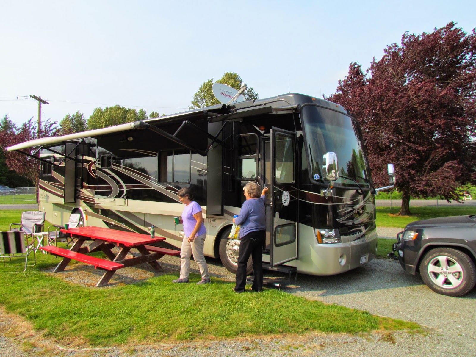
Let's just say I could get used to these short travel days! From Lone Pine it was less than 100 miles to our next stop west of Leavenworth, Washington---Nason Creek in the Wenatchee National Forest.
We pulled in and found a great spot--only a few were taken and one of those was the host!This is a view of our camp site from across the creek in another loop of the campground.
We took a walk down to the state park and Lake Wenatchee.
  I couldn't believe people were swimming! They must belong to  a polar bear club! It was not warm water! And the breeze coming off the lake.....BRRRR!!
Back at our site, we relaxed and toasted our good fortune at having this wonderful site.
Later that afternoon, we went geocaching. We found this old bridge near Plain, Washington. It is used for people, snowmobiles, and motorcycles.
Monday, we visited the town of Leavenworth. We enjoyed walking around the German influenced town. It was much better than Helen, Ga.
Lunchtime found us at Gustav's on the roof patio. We had a great view of the town and the mountains.
We stopped by the ranger office and inquired about hikes in the area. Most of the upper trails were still closed, but the ranger gave us a map and some suggestions. Our first hike was to Hidden Lake, not far from the campground. It was less than a mile from the trailhead to the lake, but we walked halfway around the lake looking and enjoying the area. This tree had a different green moss covering it. It reminded us of Hoh Rainforest on the Olympia Peninsula. In fact the whole area reminded us of Hoh.
The Indian paintbrush was in bloom.
The first waterfall we found had water emptying from the lake and flowing down to Lake Wenatchee.
As we walked around the lake, we could hear another waterfall, but couldn't see it for the trees. We finally found it!  Bob experimented with the camera and took this shot in vivid mode. This was the first of two great hikes in the area.
Wednesday we went hiking closer to Leavenworth. We found a trail leading to Alpine Lakes Wilderness Area. We didn't plan on walking the whole trail as it was 6.5 miles one way! Also, the change in elevation was over 4,000 feet! We chose to walk and find the two geocaches along the trail. The first one was easy, it was just over the pedestrian footbridge leading to the trail.
The second one, not quite so easy---it was a mile UP the trail and a climb of 800 feet in elevation.  We took our time, enjoyed the views and saw some wildlife. I spotted this chipmunk eating his lunch.
 It seems this chipmunk is a carnivore. I had no idea!
 Now in all our hikes at elevation out west, Bob and I have never seen goats! Well, as Bob was getting the geocache near the switchback in the trail, I spotted three goats resting on some boulders above us.
 We stood and watched them for a while, then continued on our hike. I decided that the hike to the geocache was not long enough and we needed to see if we could find the waterfall we kept hearing.
 The short climb took us to the entrance to the Alpine Lakes Wilderness Area. Still, no waterfall.
 So, after a hike of about 1.5 miles and 1002 foot change in elevation, we headed back down. 
 Well, until we met one of the goats on the trail!
 He was enjoying his lunch and didn't care if we watched him or not! In fact he kept moving closer and closer stripping leaves from bushes as he moseyed toward us. We finally decided we could  go down on the rocks to the left of the goat and get around. He started moving a tad faster as we were side by side. Whew! We made it around without incident!
 About halfway down, Bob took a picture of the parking area, once we could see it!
 
Funny, it didn't take nearly as long to get down as it did to get up the trail. The only problem with the hike down was that it started to sleet, which turned to rain just before we got to the car....then it stopped! The next day as we left the area, we could tell that the higher elevations got snow from that bit of weather we encountered.

Lone Pine Fruit and Espresso--Orondo, Washington

Earlier this year, Bob and I joined Harvest Hosts. It is a camping organization that allows you to spend on night at a farm, winery, museum, or brewery if the aforementioned business is a member. Since we had not used it, we decided to stay at a place north of Orondo, Washington. The drive was a relatively short one considering most of our travels at the beginning of our trip were over 250 miles per day--about 150 miles. I have to say it was an interesting trip as we traveled down into the Columbia River Valley! First we saw the snow capped mountains......
 ....then it was downhill from west of Waterville all the way to Orondo. In fact the sign warned of a 6% downhill grade for at least 6 miles! Bob pulled over at one of the pullouts so we could eat lunch and let the brakes cool.
Once we arrived at Lone Pine Fruit and Espresso, we were directed to a spot behind the business. On one side of our parking spot were cherry trees,
..and on the other was the Columbia River. We enjoyed our stay at Lone Pine and we also enjoyed the fresh purple asparagus, apples and berry pie!
After we got set up and rested, we drove north to Beebe Springs Natural Area. From an overlook we could see  river and houses in the area.
There were also walking trails by the river with geocaches hidden along them. We enjoyed the hike...
 ....and the sculptures along the trails.
 But is was time to head back to our campsite and enjoy the outdoor garden while we ate our berry pie ala mode for dinner!
As we were walking back to our site, I spotted an old car. I think my brother Walter could probably tell me the make and model and who in our old neighborhood drove one just like this one.
This has been a good trip so far. I wonder what tomorrow will bring and where we will be?